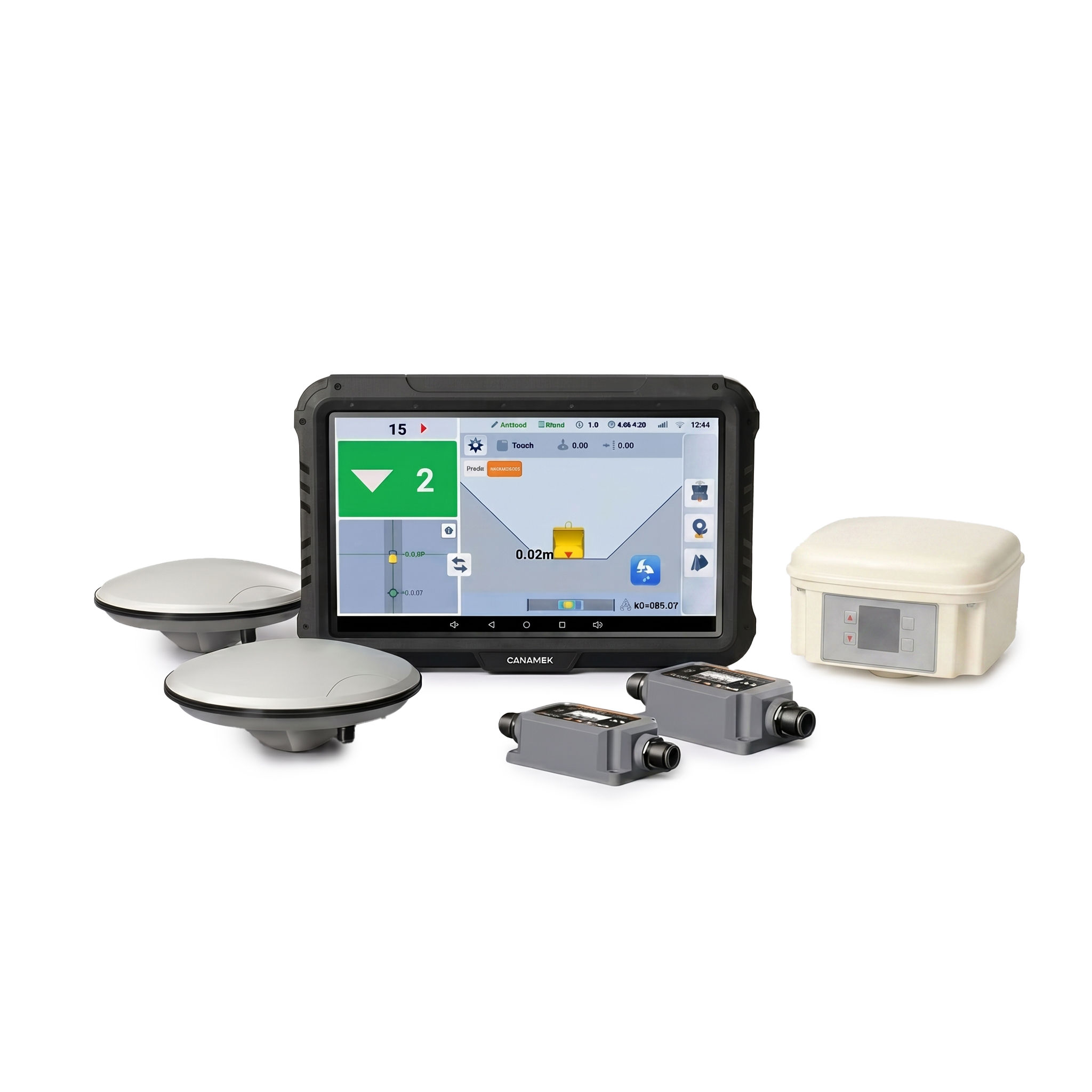
The CANAMEK EasyCav Lite 3D System for Excavator is an advanced yet easy-to-use 3D excavator guidance system engineered for accurate excavation, grading, trenching, drainage, land leveling, slope construction, roadwork, and general earthmoving applications.
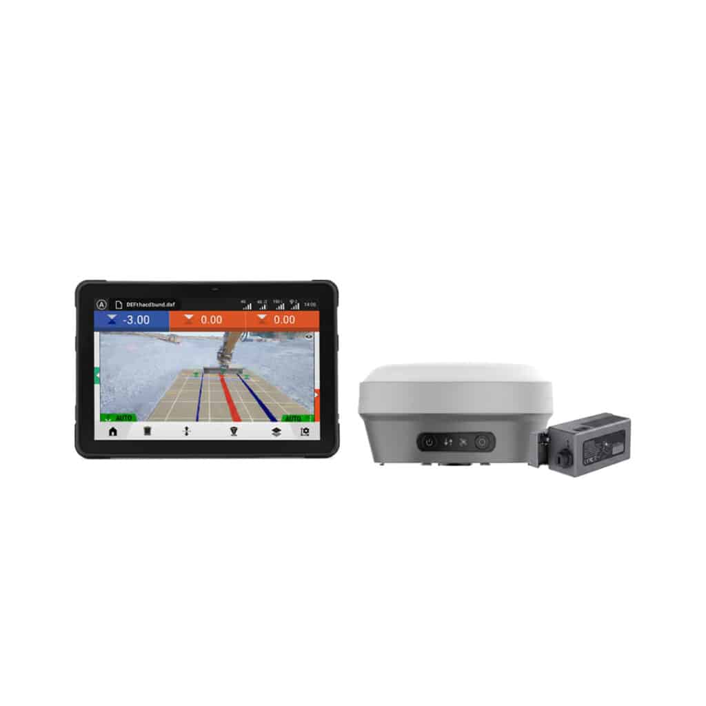
Using high-precision RTK GNSS positioning, inertial sensors, camera technology, and intelligent guidance software, EasyCav Lite provides the operator with real-time bucket position, elevation, slope, and design information directly on the in-cab display.
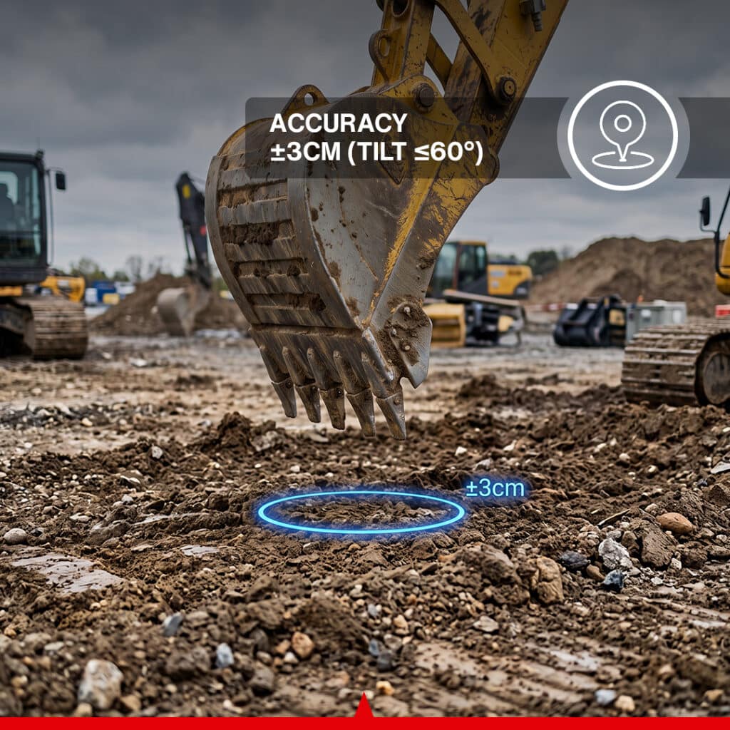
With positioning accuracy of up to ±3 cm when operating within a 60° tilt from vertical, the system gives operators a clear reference for working toward the required grade or excavation profile.
Its streamlined wireless architecture and modular hardware are designed to make 3D excavator technology accessible to both experienced operators and users adopting machine guidance for the first time.
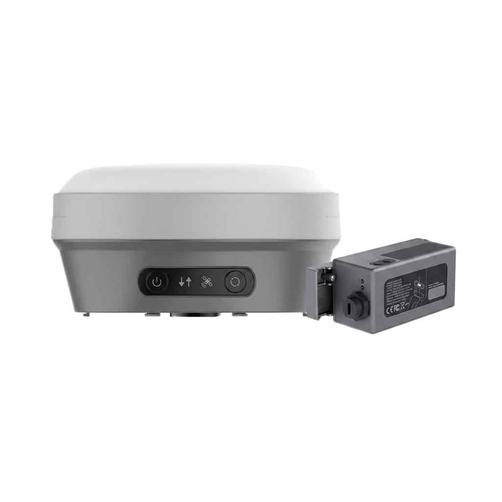
EasyCav Lite continuously tracks the excavator and bucket position in three dimensions using a high-performance 1408-channel Multi-GNSS receiver combined with an IMU sensor system.
The operator can monitor excavation depth, elevation, slope, positioning, and design information in real time from the T10 Android display.
The system supports major satellite constellations including:
This Multi-GNSS capability provides reliable positioning for a wide variety of excavation and construction environments.
The CANAMEK EasyCav Lite 3D System for Excavator delivers positioning accuracy of approximately ±3 cm, with support for machine tilt up to 60° from vertical.
This accuracy makes the system suitable for precision applications such as:
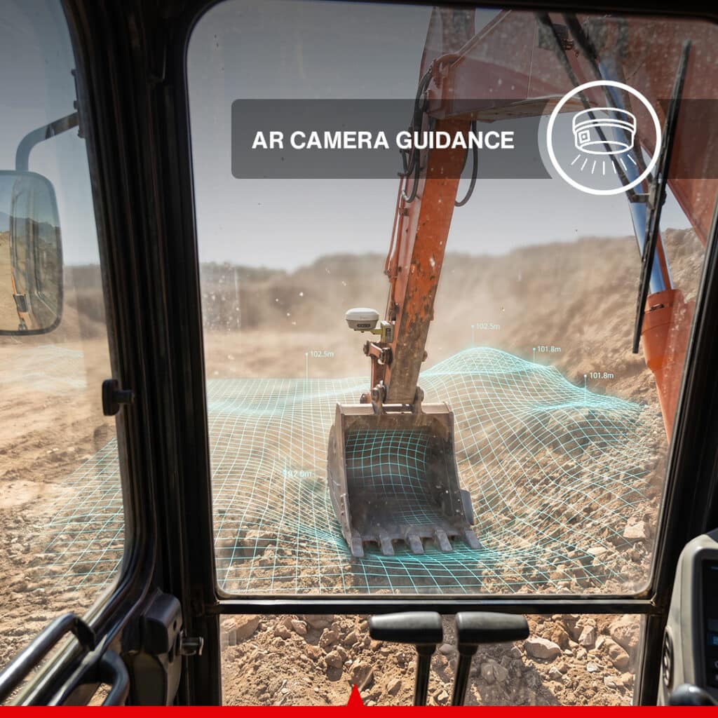
EasyCav Lite combines GNSS positioning with AR Camera Guidance to provide operators with a more intuitive view of the excavation work.
The camera system can visually overlay information such as:
This real-time visual guidance helps operators understand the relationship between the bucket, machine, and digital design directly from the operator display.
The system includes both forward-facing and downward-facing 5 MP cameras.
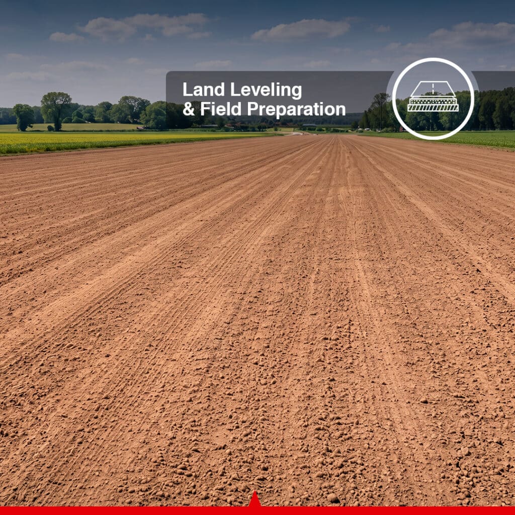
For grading and leveling applications, EasyCav Lite allows the operator to establish a unified target elevation.
The system continuously displays the bucket position relative to the selected elevation, helping maintain a consistent finished surface.
Typical applications include:
Operators can define a straight-line elevation or excavation path within the software and use real-time 3D guidance to follow that alignment.
Line Guidance is especially useful for:
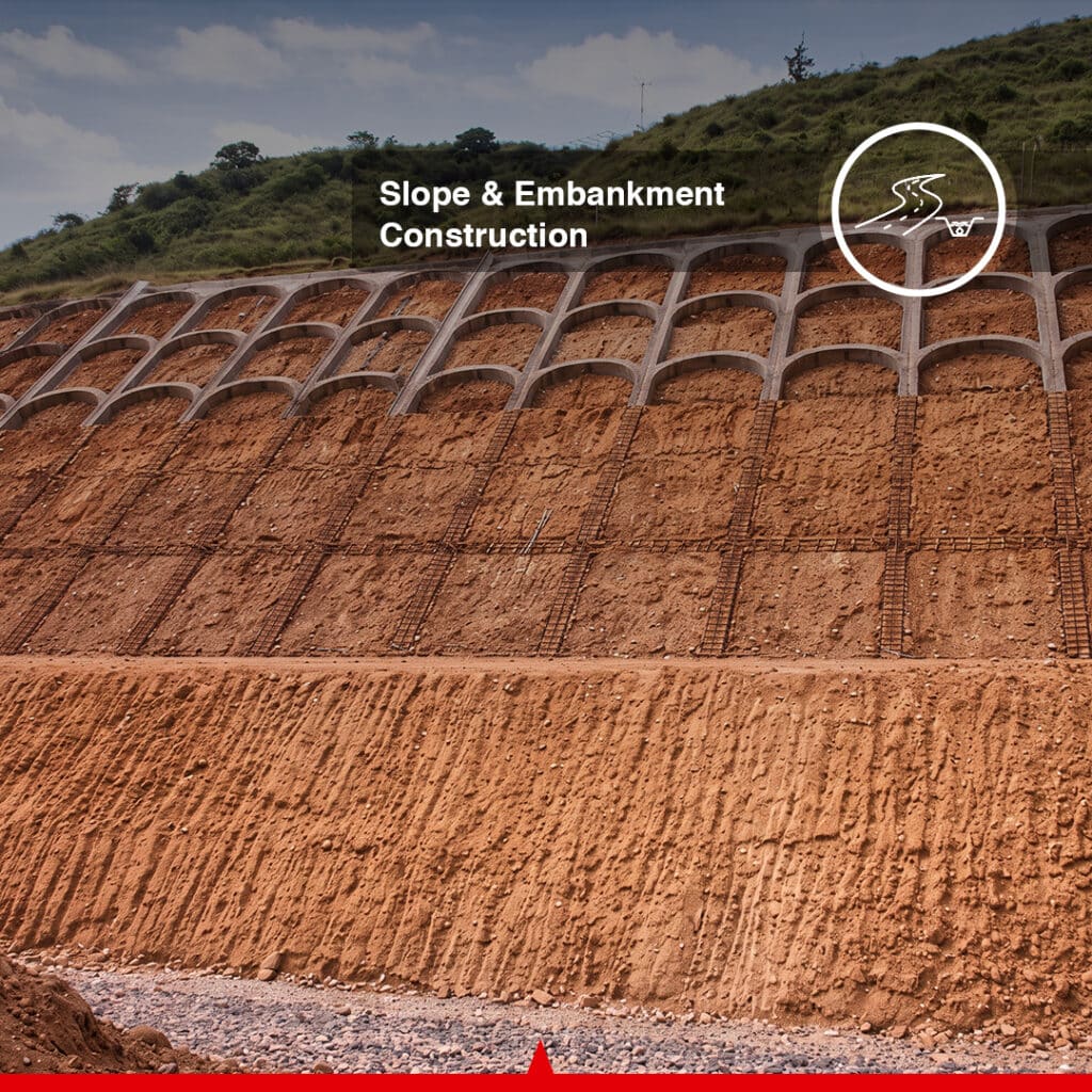
EasyCav Lite supports software-defined longitudinal and cross slopes, allowing operators to construct sloped surfaces according to the required design.
Applications include:
The operator receives continuous positional guidance while forming the slope.
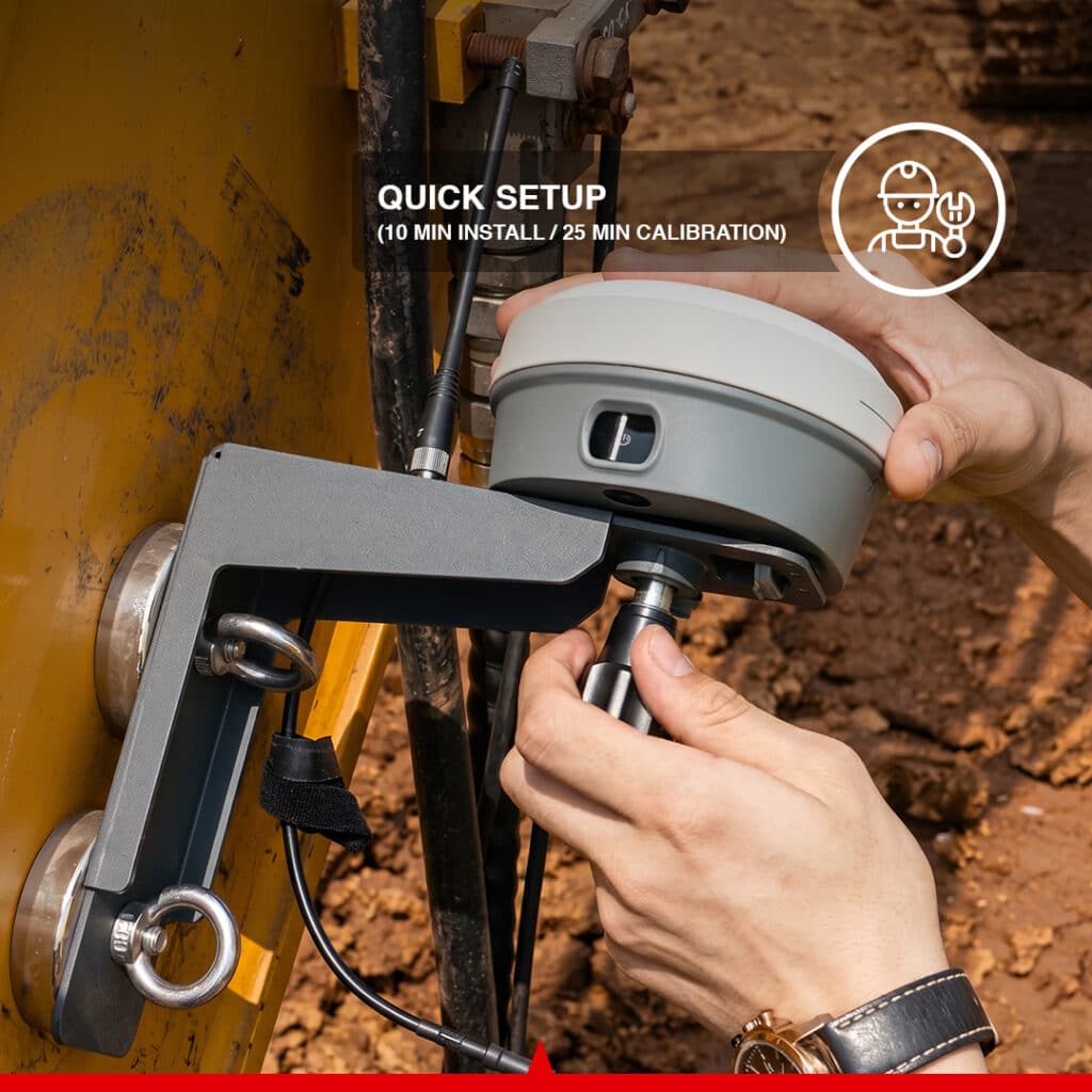
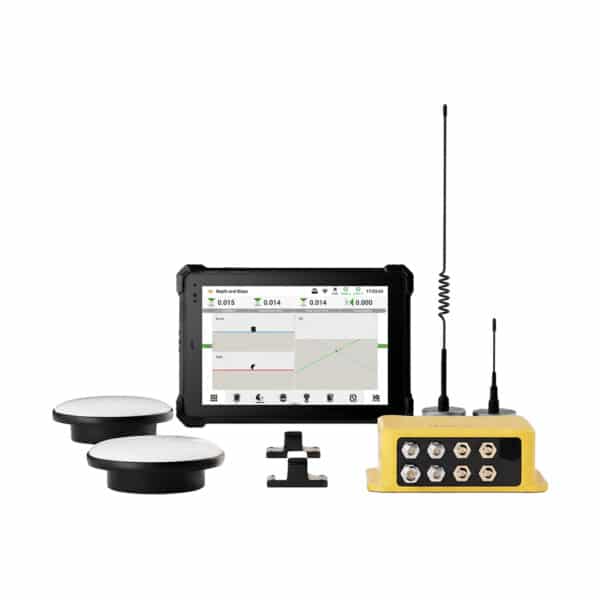
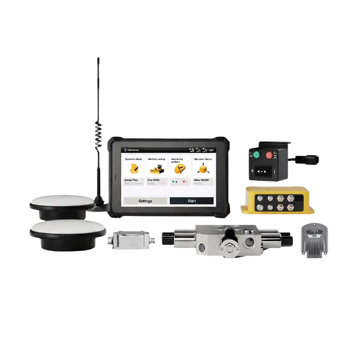
The modular hardware architecture of EasyCav Lite is designed for quick installation and machine changes.
Typical setup time:
Installation: Approximately 10 minutes
Calibration: Approximately 25 minutes
The modular design also makes it easier to transfer the system between compatible excavators.
EasyCav Lite provides several communication options for modern connected jobsites.
Connectivity includes:
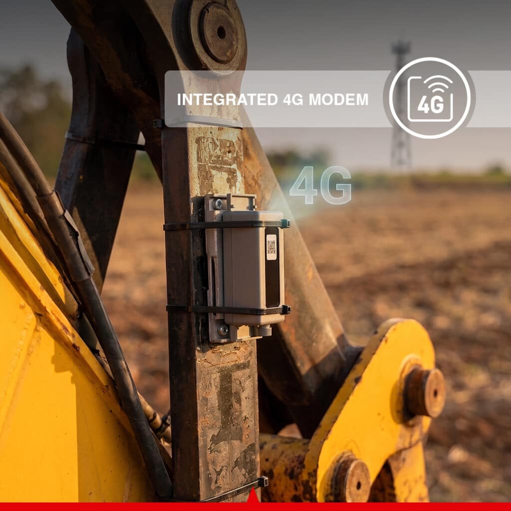
The integrated cellular modem supports multiple mobile network technologies including LTE, WCDMA, EDGE, GPRS, and GSM.
The GNSS receiver is designed for demanding construction and earthmoving environments.
EasyCav Lite includes a dedicated T10 operator tablet designed to provide clear access to machine positioning and guidance information.
Key specifications include:
The touchscreen interface provides operators with real-time excavation and positioning information directly inside the excavator cab.
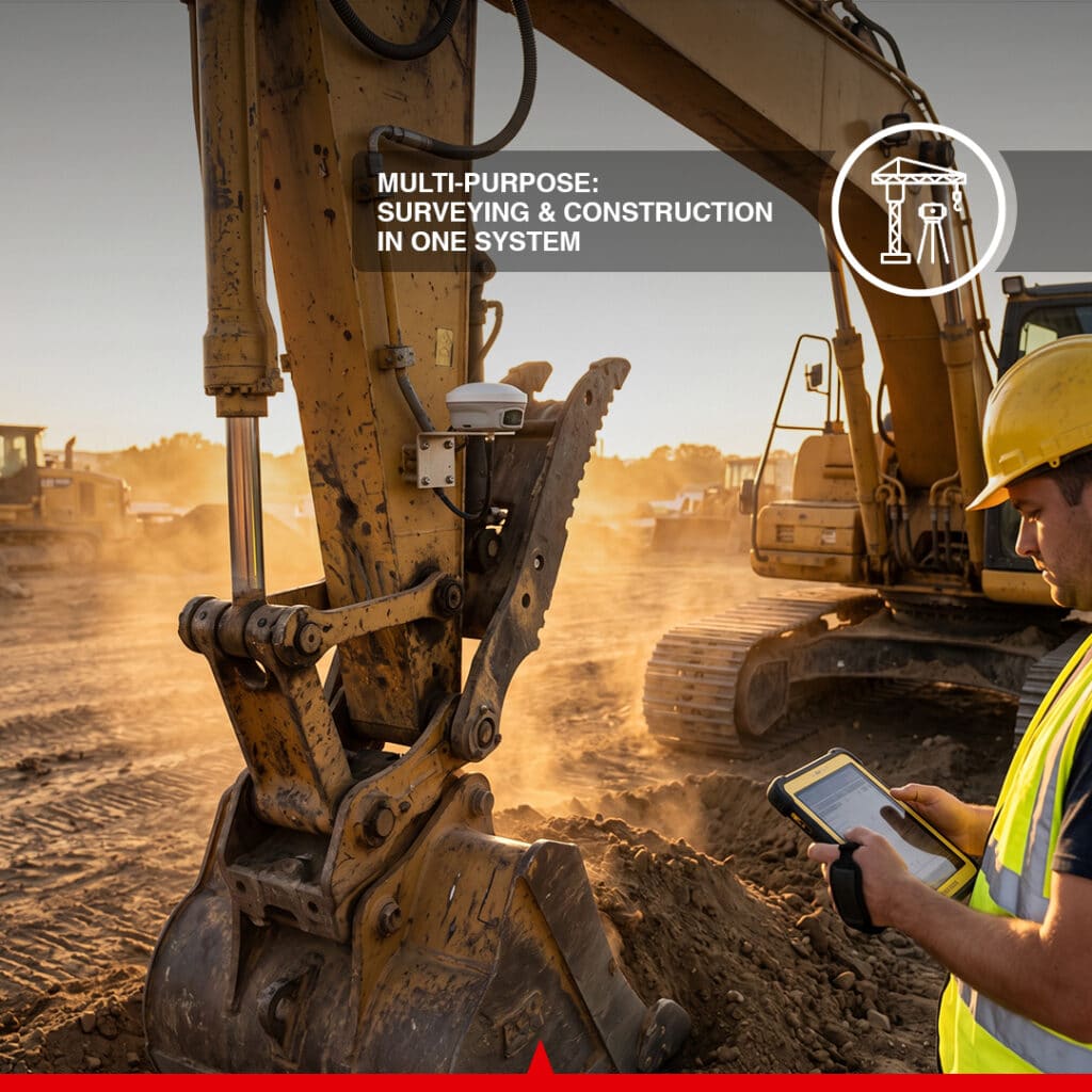
The CANAMEK EasyCav Lite 3D System for Excavator can be used across a wide variety of construction, agricultural, and earthmoving applications.
Recommended applications include:
Optional global coordinate system functionality provides access to more than 6,000 predefined coordinate systems worldwide.
Grid and geoid models can be downloaded for faster configuration when moving between different projects and geographic areas.
For projects requiring digital construction files, optional Multi-Layer Support can work with several commonly used formats, including:
This allows multiple design layers and project information to be managed within the guidance workflow.
Every CANAMEK EasyCav Lite 3D System for Excavator is backed by:
CANAMEK supports customers before, during, and after installation to help ensure the system is correctly configured for the excavator and application.
The CANAMEK EasyCav Lite 3D System for Excavator is a GNSS-based 3D excavator guidance solution that provides the operator with real-time information about bucket position, elevation, excavation depth, slopes, design lines, and project targets.
EasyCav Lite provides positioning accuracy of approximately ±3 cm, with support for machine tilt up to 60° from vertical under suitable operating and correction conditions.
No. EasyCav Lite is designed primarily as an excavator guidance system. It provides real-time positioning and grade information to the operator, while the operator remains in control of the excavator and hydraulic movements.
The system includes a high-performance Multi-GNSS receiver, built-in UHF radio, cellular modem, and RTK-related hardware to support high-accuracy positioning workflows. The exact correction configuration depends on the available base station, radio, or network correction service at the jobsite.
The receiver supports multiple GNSS constellations, including GPS, GLONASS, BeiDou, Galileo, QZSS, IRNSS, and SBAS.
Yes. The Line Guidance function allows operators to define an elevation and alignment for applications such as trench excavation, drainage construction, channel excavation, and pipeline installation.
Yes. EasyCav Lite supports longitudinal and cross-slope guidance for applications such as embankments, riverbanks, roadbeds, drainage slopes, and general slope construction.
Yes. The system uses camera-based Augmented Reality guidance to display information such as bucket paths, measurements, design lines, and excavation references for more intuitive operation.
The modular system is designed for quick setup. Typical installation takes approximately 10 minutes, followed by approximately 25 minutes for calibration.
Actual setup time may vary depending on excavator type and installation conditions.
Yes. The modular architecture is designed to simplify installation and allow the guidance equipment to be transferred between compatible machines. Calibration should be completed whenever the system is installed on a different excavator.
The main GNSS receiver is rated IP68, while the IMU is rated IP67, making the system suitable for demanding construction and earthmoving environments.
Yes. The system includes an integrated cellular modem as well as Wi-Fi, Bluetooth, BLE, and NFC connectivity.
With the optional Multi-Layer functionality, the system supports commonly used formats including DWG, DXF, SHP, KML, and XML.
The system is suitable for applications including:
The CANAMEK EasyCav Lite 3D System for Excavator includes a 2-Year CANAMEK Warranty together with 7 Days a Week After-Sales Support for product, setup, and technical assistance.
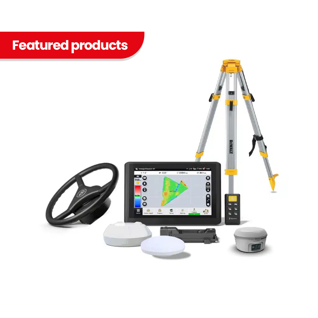
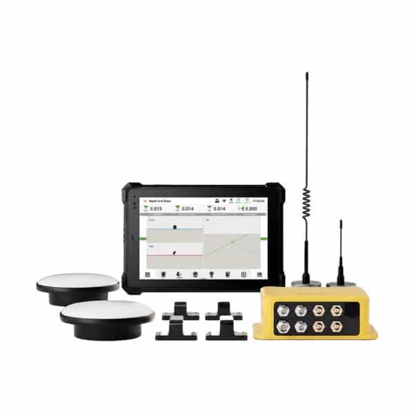
| Choose | Core Version | RTK-Ready | Turnkey System |
| Specification | Details |
|---|---|
| GNSS Channels | 1408 Channels |
| GPS | L1A, L1C, L2C, L2P, L5 |
| GLONASS | L1, L2, L3 |
| BeiDou | B1I, B2I, B1C, B2a, B2b |
| Galileo | E1, E5a, E5b, E6 |
| QZSS | L1, L2C, L5, L6* |
| IRNSS | L5* |
| SBAS | L1 C/A |
| HAS-PPP | E6 |
| Positioning Accuracy | ±3 cm |
| Supported Machine Tilt | Up to 60° from vertical |
*Certain signals may require a firmware upgrade.
| Specification | Details |
| Forward Camera | 5 MP |
| Downward Camera | 5 MP |
| Field of View | 83° |
| Guidance | Real-Time AR Camera Guidance |
| Mapping | Real-Time 3D Mapping |
| Specification | Details |
| Operating Temperature | -35°C to +60°C |
| Storage Temperature | -40°C to +70°C |
| Ingress Protection | IP68 |
| Water Protection | Continuous immersion up to 1 m |
| Battery | Built-In Li-Ion |
| Battery Capacity | 7.4 V / 4900 mAh |
| Charging | 30 W PD Fast Charge |
| Dimensions | 130 × 68 mm |
| Weight | Approx. 800 g |
| External Power Input | 9–32 V DC |
| Specification | Details |
| SIM Card | Nano-SIM |
| Network Modem | TDD-LTE, FDD-LTE, WCDMA, EDGE, GPRS, GSM |
| Wi-Fi | 2.4 GHz, 802.11 b/g/n |
| NFC | Supported |
| Bluetooth | BT 4.2 & BLE |
| External Radio Port | 7-Pin LEMO |
| UHF Antenna Port | Supported |
| USB | USB Type-C |
| Internal Storage | 32 GB |
| Specification | Details |
| Frequency | Rx/Tx 410–470 MHz / 902–928 MHz |
| Supported Protocols | TRIMTALK, TRIMMARK III, TT450S, TRANSEOT, Satel 3AS 4FSK, LoRa |
| Link Rate | 9,600 to 19,200 bps |
| Operating Mode | Runtime |
| Rover | Approx. 15 Hours |
| Base | Approx. 10 Hours |
| Static | More Than 25 Hours |
Battery life may vary depending on environmental conditions, temperature, configuration, and usage.
| Specification | Details |
| Base Dimensions | 139 × 40 × 12 mm |
| IMU Dimensions | 110 × 52 × 52 mm |
| Battery | 3.7 V / 6400 mAh |
| Charging | 12 W PD Fast Charge |
| Continuous Operating Time | Up to 84 Hours |
| Operating Temperature | -40°C to +60°C |
| Storage Temperature | -40°C to +70°C |
| Ingress Protection | IP67 |
| Gyroscope Resolution | 0.0076°/s |
| Accelerometer Resolution | 0.0916 mg |
| Bluetooth Protocol | BLE 5.1 |
| Specification | Details |
| Product Size | 251 × 170 × 17 mm |
| Weight | <700 g |
| Operating System | Android 15 |
| RAM | 4 GB |
| Storage | 64 GB |
| Bluetooth | Supported |
| Wi-Fi | Supported |
| Specification | Details |
| Dimensions | 216 × 203 × 80 mm |
| Weight | 0.8 kg |
Use target-elevation guidance to excavate or trim a site toward the required level. Live bucket-position information helps the operator follow the selected elevation during ground preparation and finishing.
Guide an excavator while reshaping selected areas of agricultural ground to a planned elevation or slope. The system supports controlled preparation where an excavator is used to move and finish soil.
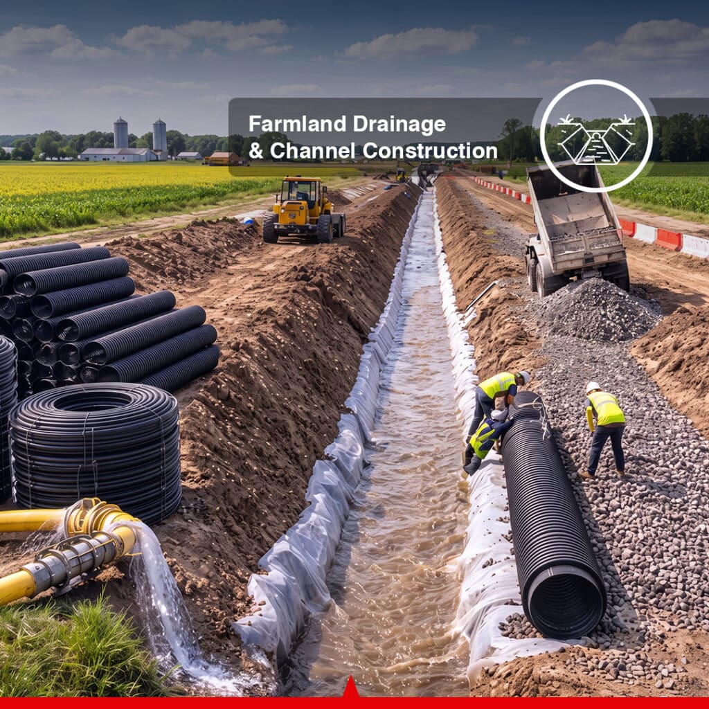
Define the required alignment and profile for a field drain or channel, then use line and slope guidance to follow it during excavation. This supports construction according to the drainage plan and its outlet requirements.
Use a defined straight alignment and target elevation as the reference for trench excavation. The operator monitors the bucket's position while forming the excavation needed for subsequent utility or pipeline installation.
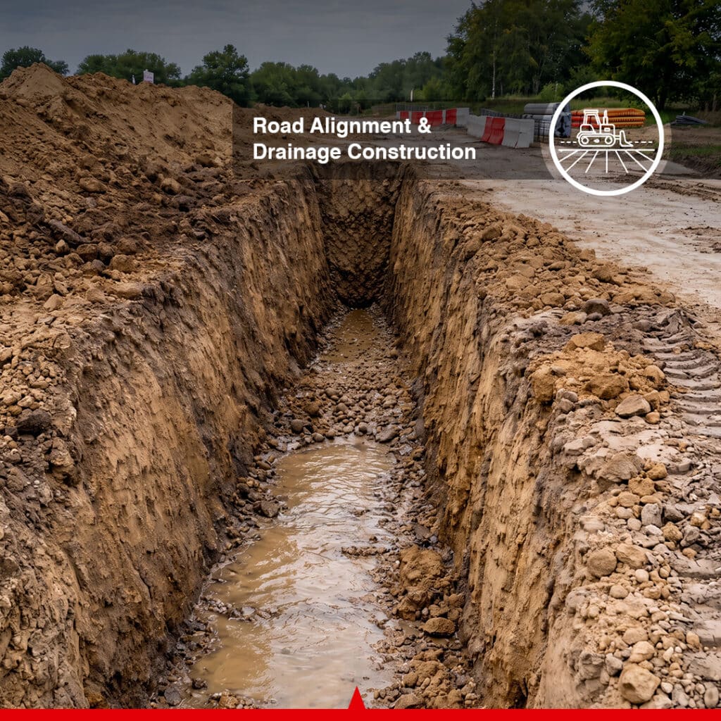
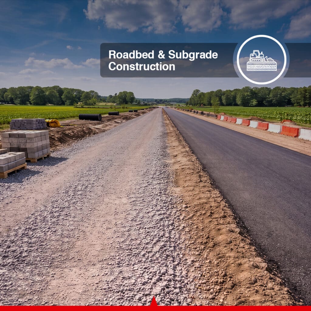
Follow specified elevations and slopes during excavation and shaping of roadbeds or subgrades. The in-cab guidance provides a reference for working toward the required profile before the next construction stage.
Use line guidance for straight ditch sections and slope guidance for the intended drainage profile. This supports controlled excavation alongside roads and access routes.
Configure longitudinal and cross slopes to guide the operator while forming the required surface. Bucket-position feedback helps relate the excavation to the planned embankment or riverbank geometry.
Establish a target elevation to guide compatible sludge-removal work toward the required profile. The installation and component exposure must remain within their applicable environmental limits.
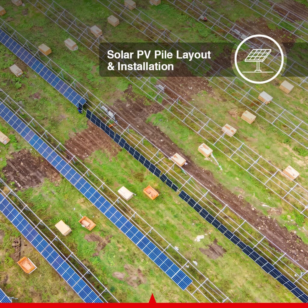
Guide excavation and grading associated with a solar PV installation using defined elevations, alignments or slopes. Where compatible design data is required, specify the optional Multi-Layer functionality for the project workflow.
Be the first to review this product.
Every unit ships with everything needed to put it to work in under an hour.
Get sizing help and tech answers from a real human, in <2 min.
Call +1 (855) CANAMEKTell us your acreage and crop, get a turnkey estimate in 24 hours.
Email sales →
Write a review