

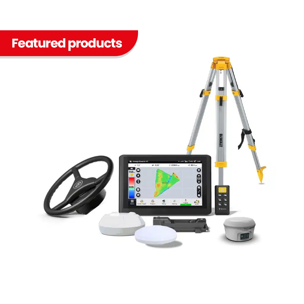
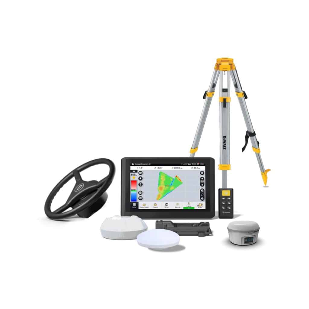
TOPO-Steer Land Leveling & Auto Steering System
- One Integrated GNSS Platform
- Automatic Tractor Steering
- Automatic Implement Height Control
- Topographic Surveying
- Level, Single-Slope and Dual-Slope Designs
- Target Elevation Adjustment
- Water-Flow Direction Management
- Cut-and-Fill Optimization
- 3D Color-Coded Project View
- Live Machine Position Display
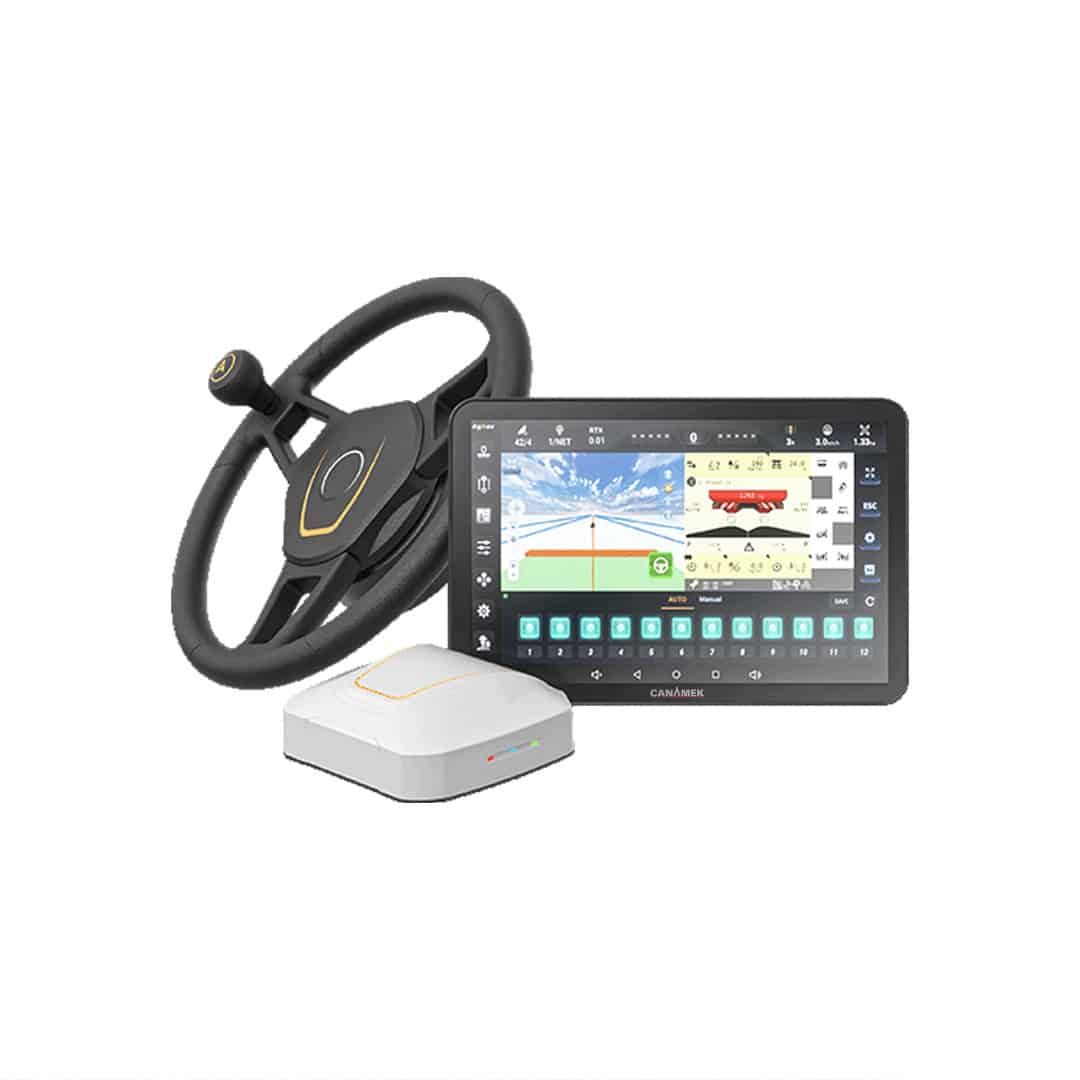
- Electric Steering Wheel
- Integrated Attitude Compensation
- Third-Party AGD File Import
- PDF Project Reporting
- 9–36 V DC System Compatibility
- 12 V and 24 V Steering Motor Options
- 2 Year Warranty
- 7 Days a Week After-Sales Service
Ships in 24h
Extend to 5
Available add-on
TOPO-Steer Land Leveling & Auto Steering System
Integrated Auto Steering and Land Leveling
The TOPO-Steer Land Leveling & Auto Steering System brings two major precision-agriculture functions together in one integrated machine-control platform.
The automatic steering system controls the tractor’s electric steering wheel to maintain the selected straight guidance line. At the same time, the land-leveling system monitors the position of the grading implement and controls the compatible hydraulic valve to follow the approved terrain design.
This integrated workflow allows the tractor to travel on a more consistent path while the blade, box scraper, or land leveler maintains the required elevation.
Instead of requiring the operator to constantly correct both tractor direction and blade height, TOPO-Steer automates the most repetitive parts of the operation.
Automatic Straight-Line Steering
The TOPO-Steer auto-steering module is designed for assisted straight-line operation on compatible tractors and agricultural machines.
The operator creates or selects the required guidance line through the control terminal. Once automatic steering is engaged, the electric steering wheel makes continuous adjustments to keep the machine aligned with that path.
Automatic steering can help reduce:
- Missed strips
- Unnecessary overlap
- Irregular passes
- Operator fatigue
- Repeated steering corrections
- Inconsistent implement coverage
- Errors caused by low visibility
- Variation between experienced and less-experienced operators
The hardware replaces the original steering wheel with an electrically driven steering assembly selected for the machine’s steering-column spline and dashboard configuration. The steering system includes a machine-specific splined sleeve and motor bracket.
Automatic Land-Leveling Control
The land-leveling module continuously compares the actual position of the implement with the proposed digital surface.
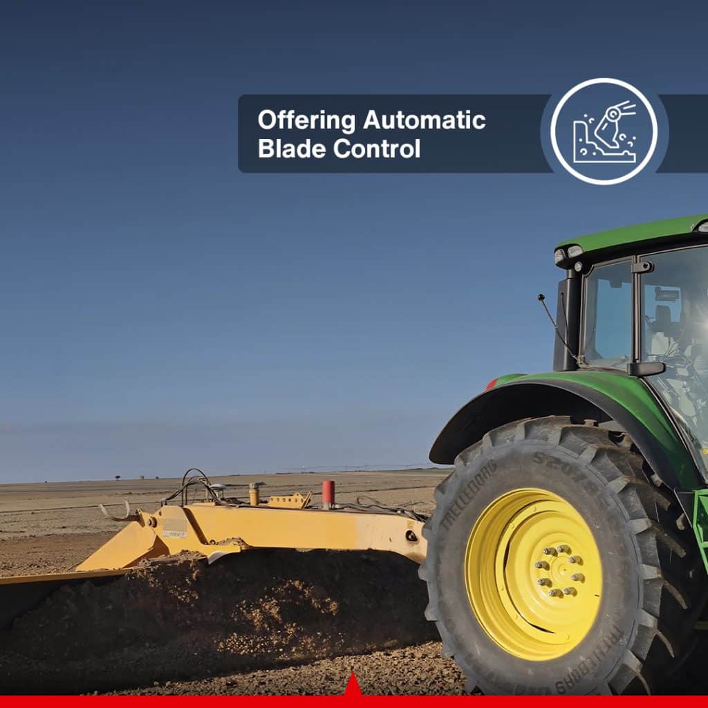
The Vehicle Control Unit communicates with the compatible hydraulic valve system and adjusts the implement to follow the required elevation and slope.
Depending on machine and hydraulic configuration, the system can be configured for:
- Automatic blade movement up and down
- Lift control
- Compatible tilt control
- Manual and automatic operating modes
- Elevation offsets
- Step-by-step excavation
- Level and sloped surface grading
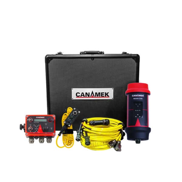
The land-leveling hardware includes a VCU, GNSS positioning equipment, hydraulic solenoid-valve wiring, adapter harnesses, and machine-specific connection components.
One Platform for Steering and Grading
TOPO-Steer is more than a tractor-guidance system and more than a basic blade controller.
The combined platform allows the operator to manage:
- Tractor guidance
- Implement position
- Target elevation
- Field slope
- Water-flow direction
- Cut-and-fill requirements
- Project boundaries
- Survey data
- Terrain design
- Machine position
- Project reporting
An integrated configuration can use common GNSS and control-terminal infrastructure while adding the land-leveling VCU, second implement antenna, RF connection, hydraulic-control harnesses, and machine-specific adapters.
This helps reduce the number of separate displays, cables, GNSS systems, and independent operator interfaces inside the cab.
High-Precision Topographic Survey
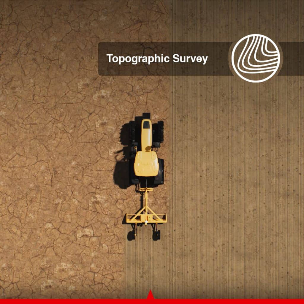
The land-leveling module can collect topographic elevation data directly from the field.
The survey creates a digital representation of the existing ground surface and helps identify:
- High areas
- Low areas
- Water-holding depressions
- Uneven slopes
- Drainage restrictions
- Areas requiring cut
- Areas requiring fill
- Existing water-flow patterns
For supported projects with simple surface profiles, surveying and terrain design can be completed directly from the control terminal.
Optimized Surface Design
TOPO-Steer allows the operator to create an optimized proposed surface based on the field survey and project requirements.
Important design settings can include:
- Target elevation
- Water-flow direction
- Longitudinal slope
- Cross slope
- Level-surface design
- Single-slope design
- Dual-slope design
- Cut-and-fill relationship
- Elevation offset
- Proposed excavation sequence
The objective is to achieve the required field shape while minimizing unnecessary earth movement.
Reducing excess earthwork can help lower:
- Fuel consumption
- Machine hours
- Soil compaction
- Topsoil displacement
- Labor requirements
- Equipment wear
- Overall project cost
Level, Single-Slope and Dual-Slope Surfaces
TOPO-Steer supports different surface configurations for agricultural leveling and drainage management.
Level Surface Design
Creates a consistent target elevation across the selected field area.
Single-Slope Surface Design
Creates one continuous slope to direct irrigation or surface water toward a selected outlet.
Dual-Slope Surface Design
Creates two connected surface planes for fields requiring split drainage directions or more complex water management.
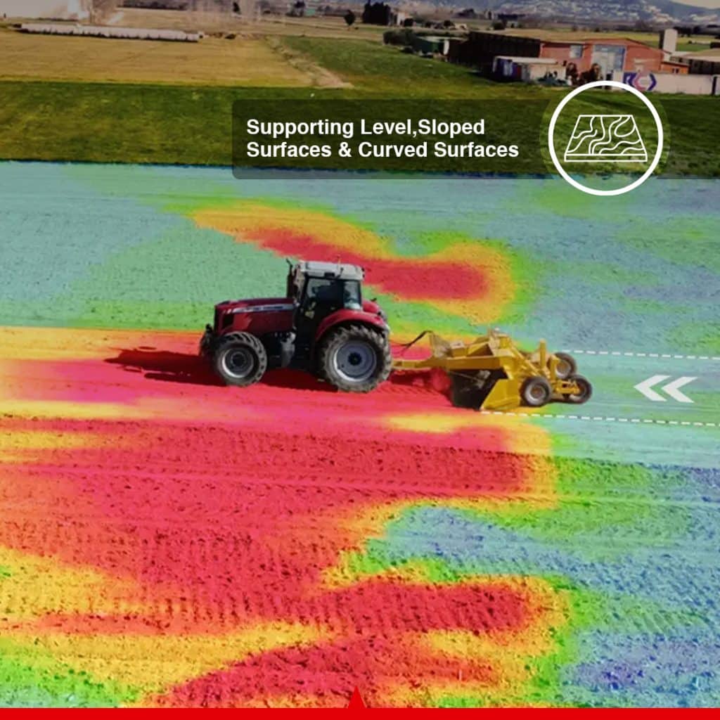
These surface options make the system suitable for paddy fields, dryland farms, row-crop land, drainage-sensitive fields, irrigation projects, and uneven agricultural terrain.
Real-Time Cut-and-Fill Information
The control terminal can display the difference between the existing surface and the approved design.
Operators can identify:
- Areas requiring excavation
- Areas requiring filling
- Current implement elevation
- Target implement elevation
- Remaining cut
- Remaining fill
- Proposed slope
- Current machine position
Earthmoving volumes can be presented in cubic yards for North American projects and cubic meters for international projects.
A visual cut-and-fill map helps operators understand the project without relying only on individual elevation readings.
3D Color-Coded Project View
TOPO-Steer provides a color-coded project display showing the surveyed terrain, proposed design, and current tractor position.
The interface can visually represent:
- High ground
- Low ground
- Cut areas
- Fill areas
- Project boundaries
- Proposed surface
- Tractor position
- Direction of movement
- Implement-control status
The display is designed to remain usable during daytime, low-light, and nighttime field operations. The control terminal specified in the auto-steering manual has a 10.1-inch capacitive display with 1280 × 800 resolution and a rated brightness of 700 nits.
GNSS and Attitude Compensation
The system combines satellite positioning with attitude information to maintain performance as the tractor moves across uneven terrain.
The GNSS receiver includes integrated accelerometer and gyroscope functions for monitoring machine movement, roll, and pitch.
A separate axle-mounted attitude sensor is also used by the auto-steering system to provide steering compensation based on vehicle movement.
This helps the system account for:
- Tractor roll
- Pitch movement
- Uneven ground
- Front-axle movement
- Vibration
- Changes in machine attitude
The auto-steering attitude sensor operates at up to 200 Hz with a resolution of less than 0.1° and carries an IP67 protection rating.
Electric Steering Wheel Retrofit
TOPO-Steer uses an electric steering-wheel assembly rather than requiring a complete factory hydraulic steering interface.
The original steering wheel is removed and replaced with an electrically driven steering wheel using:
- A machine-specific splined sleeve
- A steering motor
- A machine-specific motor bracket
- Steering-column mounting hardware
- Dedicated wiring harnesses
Multiple splined-sleeve and bracket configurations allow the system to be adapted to different tractor models.
The steering wheel has a diameter of 16.14 in / 410 mm. The motor is available for compatible 12 V or 24 V systems and provides peak torque of 14.75 lb-ft / 20 Nm at 12 V or 22.13 lb-ft / 30 Nm at 24 V.
Improve Water Distribution and Drainage
Accurate field elevation and controlled slope can improve how water enters, moves across, and exits agricultural land.
TOPO-Steer can help create a field surface designed to:
- Improve irrigation distribution
- Remove excess surface moisture
- Reduce standing-water areas
- Eliminate water-holding depressions
- Improve drainage toward outlets
- Reduce uncontrolled runoff
- Reduce soil erosion
- Reduce nutrient movement
- Support more uniform drying
- Improve machinery access
Correcting low areas can also reduce persistent wet patches where weeds may have developed during previous seasons.
Improve Cultivation and Planting Management
A field that drains and dries more uniformly can be easier to manage throughout the growing season.
Potential operational benefits include:
- More predictable planting dates
- More uniform seedbed preparation
- Improved access for spraying
- More consistent fertilizer application
- Reduced delays caused by isolated wet areas
- Increased usable planting area
- Reduced risk of machinery becoming stuck
- More uniform crop establishment
Uniform water distribution can also support more consistent plant development across the field.
Actual results depend on field design, soil type, drainage infrastructure, weather, irrigation method, crop requirements, and farm-management practices.
Reduce Overlap During Land Leveling
Without automatic steering, an operator may repeatedly overlap previous passes or leave irregular gaps between passes.
During land leveling, excessive overlap can result in:
- Unnecessary machine travel
- Additional fuel use
- Reworking completed areas
- Increased soil compaction
- Uneven loading of the implement
- Longer project completion times
Automatic steering keeps the tractor on a more repeatable path, helping the land-leveling implement cover the field more systematically.
Project Import, Export and Record Keeping
TOPO-Steer supports project-data management for farmers, contractors, designers, and multi-machine operations.
Depending on the selected software configuration, operators can:
- Export survey data
- Export project-design information
- Import compatible third-party AGD files
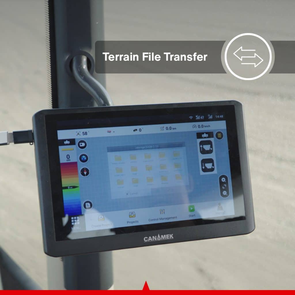
- Transfer projects between compatible systems
- Share project files between machines
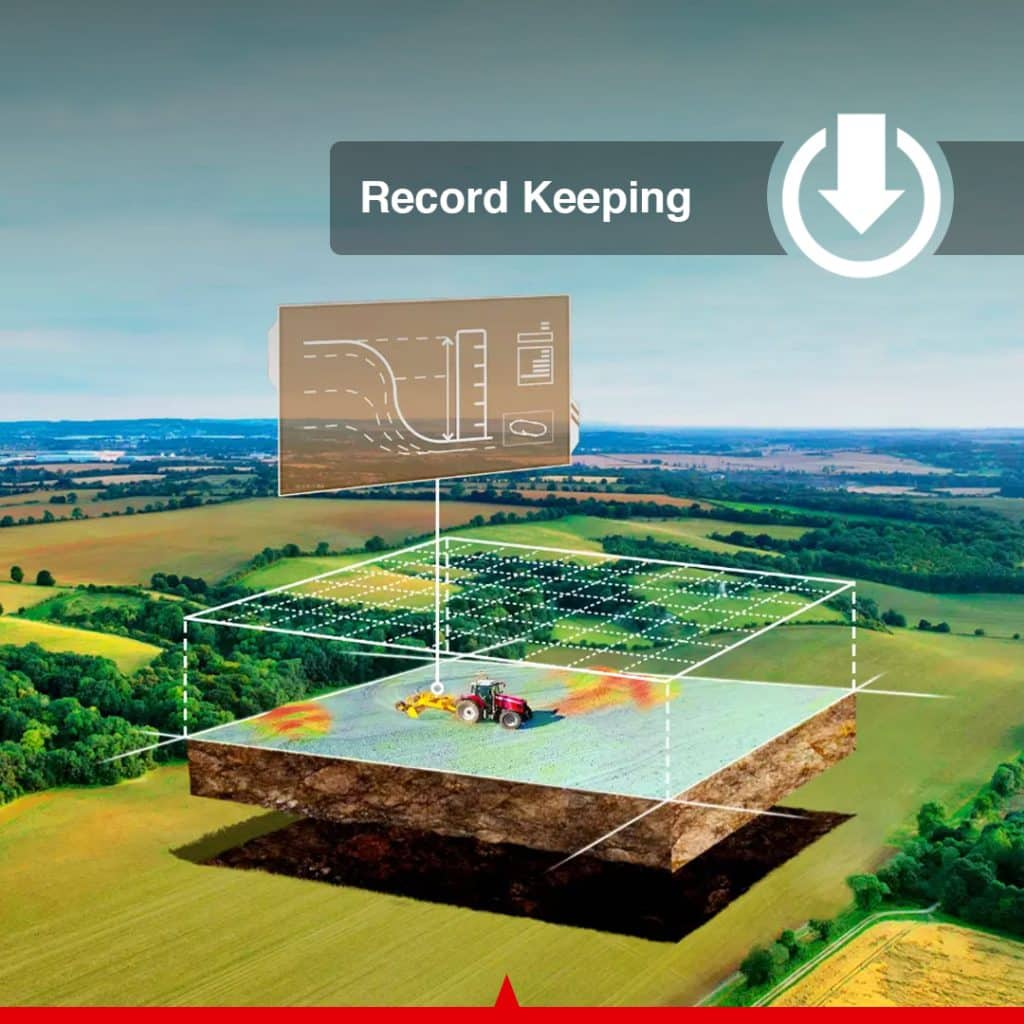
- Generate PDF project reports
- Store completed-project records
This allows one machine to survey the field and another compatible machine to continue the grading operation using the same approved design.
RTK Correction Options
High-precision steering and land-leveling functions require a compatible correction source.
Depending on the selected package and operating region, TOPO-Steer can use:
- A compatible local GNSS base station
- A supported CORS or NTRIP network
- Regional radio correction
- Cellular correction data
- Compatible third-party correction infrastructure
The control terminal supports a Micro-SIM and multiple LTE, UMTS, and GSM frequency bands for compatible cellular-data services.
A local base station may be preferable where cellular coverage is limited or the customer does not want to depend on a paid external correction network.
Integrated Land Leveling & Auto Steering System by CANAMEK
The Lesteer Combo Plus by CANAMEK is a next-generation precision agriculture solution that seamlessly integrates automated land leveling with high-performance GNSS-based auto steering. Engineered for demanding farming environments, this system delivers centimeter-level accuracy, intelligent path optimization, and fully automated field operations.
By combining advanced positioning technologies with adaptive control algorithms, Lesteer Combo Plus ensures maximum operational efficiency, reduced overlap, and optimized field uniformity.
Advanced Technical Features
Integrated Smart U-Turn Technology
Lesteer Combo Plus supports Smart U-turn algorithms that automatically calculate the most efficient turning path based on field geometry. Unlike conventional Ω-shaped or fishtail turns, the system enables:
-
Continuous and uninterrupted U-turns
-
Optimized headland management
-
Reduced time loss during end-of-row maneuvers
Intelligent Path Planning & Overlap Avoidance
The system generates fully optimized coverage paths for entire fields, automatically skipping previously worked areas. This significantly reduces:
-
Fuel consumption
-
Input waste (seeds, fertilizer, chemicals)
-
Operator workload
High-Precision GNSS & Positioning
Multi-Constellation GNSS Support
Supports GPS, GLONASS, Galileo, and BeiDou for enhanced signal stability and accuracy in all environments.
RTK-Level Accuracy (±2.5 cm)
With Real-Time Kinematic (RTK) correction, the system achieves ultra-high precision positioning, ideal for:
-
Precision land leveling
-
Row crop planting
-
Controlled traffic farming
PPP & SBAS Compatibility
Ensures reliable positioning even in areas without RTK coverage, providing flexible correction options.
Performance & Control Capabilities
Wide Operating Speed Range
-
Operates efficiently from 0.1 km/h to 26 km/h
-
Suitable for both low-speed operations (e.g., planting) and high-speed tasks (e.g., spraying and fertilizing)
Advanced Terrain Compensation
Built-in inertial sensors and terrain compensation algorithms maintain accuracy on:
-
Uneven and rough terrain
Automated Steering & Control System
High-Precision Auto Steering
-
Smooth and responsive steering control
-
Minimizes deviation and drift
-
Reduces operator fatigue during long working hours
ISOBUS Compatibility
Seamless integration with ISOBUS-enabled implements allows centralized control and improved interoperability across different equipment.
GIS & Data Management
GIS Data Integration & Transfer
-
Import/export field data, boundaries, and guidance lines
-
Supports precision farming workflows and data-driven decision-making
Boundary Warning System
Alerts operators when approaching field limits to prevent errors and ensure safe operation.
Land Leveling Automation
The integrated land leveling module uses real-time positioning data to:
-
Automatically control blade height and slope
-
Achieve uniform field surfaces
-
Improve water distribution and irrigation efficiency
Compatibility & Installation
Extensive Equipment Compatibility
Designed for installation on a wide range of tractors and leveling machinery, ensuring flexibility for different farming operations.
Key Benefits
-
±2.5 cm precision accuracy with RTK
-
Smart U-turn for optimized maneuverability
-
Full-field path planning with overlap elimination
-
Wide speed adaptability (0.1–26 km/h)
-
Stable performance on sloped terrain
-
ISOBUS and GIS integration for smart farming
Why CANAMEK?
CANAMEK delivers innovative, reliable, and high-performance agricultural technologies tailored for modern precision farming. The Lesteer Combo Plus is engineered to meet the evolving needs of farmers seeking automation, accuracy, and efficiency in a single integrated system.
Frequently Asked Questions
What is the TOPO-Steer Land Leveling & Auto Steering System?
TOPO-Steer is an integrated GNSS machine-control system that combines automatic tractor steering with topographic surveying, terrain design, cut-and-fill calculation, and automatic land-leveling control.
Can TOPO-Steer control steering and land leveling together?
Yes. The auto-steering module keeps the tractor aligned with the selected guidance line while the land-leveling module controls the compatible grading implement according to the approved elevation and slope design.
Does TOPO-Steer automatically steer the tractor?
Yes. The system uses an electrically driven steering wheel to make automatic steering adjustments during supported straight-line operation.
Does the system support curved guidance lines?
The supplied hardware manual specifically confirms assisted straight-line driving. Curved guidance, automated turning, and additional line patterns should only be advertised after confirmation in the current software version.
Does TOPO-Steer automatically control the grading blade?
Yes. When installed with a compatible hydraulic valve and land-leveling hardware, the system can automatically adjust implement elevation according to the selected surface design.
What surface designs does TOPO-Steer support?
The land-leveling platform supports level, single-slope, and dual-slope terrain designs.
Can the system survey the field?
Yes. The land-leveling module can collect topographic elevation data for terrain analysis and surface design.
Can TOPO-Steer minimize earth movement?
Yes. Operators can adjust elevation, slope, water-flow direction, and cut-and-fill parameters to create a design intended to minimize unnecessary soil movement.
What information appears on the control terminal?
The terminal can display tractor guidance, GNSS status, project boundaries, machine position, surveyed elevations, cut-and-fill areas, target elevation, slope, and land-leveling status.
Can TOPO-Steer import external designs?
The land-leveling software can import compatible third-party AGD terrain-design files.
Can project data be exported?
Yes. Survey and project information can be exported for record keeping, collaboration, and compatible multi-machine operations.
Can the system generate project reports?
Yes. The land-leveling software can generate PDF project reports for customer documentation and project records.
What voltage does the system support?
The main control and GNSS components support 9–36 V DC. The electric steering motor is configured for compatible 12 V or 24 V electrical systems.
What type of correction source is required?
High-precision operation requires a compatible RTK correction source, such as a local GNSS base station, regional radio correction, or a supported CORS/NTRIP network.
Can the system work without a CORS network?
Yes, when it is configured with a compatible local GNSS base station and radio correction package.
Can TOPO-Steer be used for operations other than land leveling?
Yes. The auto-steering module can also support compatible straight-line agricultural operations such as planting, tillage, spraying, and fertilizer application.
Is the system compatible with every tractor?
No. Compatibility depends on the steering column, splined sleeve, motor bracket, front axle, electrical system, hydraulic configuration, and implement. Machine details must be confirmed before ordering.
Does TOPO-Steer require a software subscription?
Commercial software and subscription terms depend on the package sold by CANAMEK. The exact permanent-license and annual-fee policy should be displayed according to the current sales agreement.
Full data sheet
| Choose | Standalone GPS | Standalone GPS & Valve | Turnkey System |
Control Terminal
| Specification | Value |
|---|---|
| Display | 10.1 in / 256.5 mm capacitive touchscreen |
| Resolution | 1280 × 800 pixels |
| Rated Brightness | 700 nits |
| Dimensions | 10.83 × 7.09 × 1.57 in / 275 × 180 × 40 mm |
| Memory | 2 GB RAM |
| Internal Storage | 8 GB ROM |
| Backlight | LED |
| Audio | Integrated speaker |
| Input Voltage | 9–36 V DC |
| Signals Received | GNSS, radio and 4G |
| Wi-Fi | 2.4 GHz |
| Wi-Fi Frequency | 2412–2484 MHz |
| Wi-Fi Output | 14 ± 2 dBm |
| Relative Humidity | 0–95% at 104°F / 40°C, non-condensing |
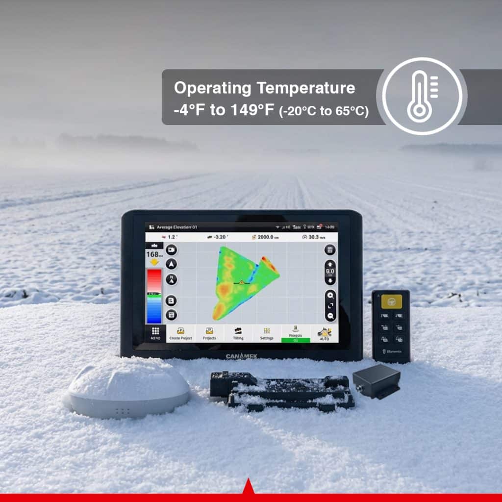
| Operating Temperature | −4°F to 158°F / −20°C to 70°C |
| Storage Temperature | −40°F to 185°F / −40°C to 85°C |
| Protection Rating | IP65 |
| SIM Type | Micro-SIM |
GNSS Receiver
| Specification | Value |
|---|---|
| Dimensions | 6.38 × 2.54 in / 162 × 64.5 mm |
| Input Voltage | 9–36 V DC |
| Operating Current | Less than 300 mA |
| GPS Signals | L1 C/A, L1C, L2P(W), L2C and L5 |
| GLONASS Signals | L1 and L2 |
| BeiDou Signals | B1I, B2I, B3I, B1C and B2a |
| Galileo Signals | E1, E5a and E5b |
| Augmentation | SBAS |
| IMU Accelerometer Accuracy | 0.5 mg |
| IMU Gyroscope Accuracy | 0.1°/s |
| Roll/Pitch Specification | 0.2° |
| Operating Temperature | −4°F to 158°F / −20°C to 70°C |
| Storage Temperature | −40°F to 185°F / −40°C to 85°C |
| Protection Rating | IP66 |
Electric Steering System
| Specification | Value |
|---|---|
| Steering Type | Electric steering-wheel retrofit |
| Steering Function | Assisted automatic straight-line steering |
| Steering-Wheel Diameter | 16.14 in / 410 mm |
| Motor Supply Voltage | 12 V or 24 V DC |
| Peak Torque at 12 V | 14.75 lb-ft / 20 Nm |
| Peak Torque at 24 V | 22.13 lb-ft / 30 Nm |
| Motor Protection Rating | IP65 |
| Steering-Column Interface | Machine-specific splined sleeve |
| Motor Mount | Machine-specific steering-column bracket |
Auto-Steering Attitude Sensor
| Specification | Value |
|---|---|
| Supply Voltage | 5 V DC |
| Maximum Output Frequency | 200 Hz |
| Resolution | Less than 0.1° |
| Operating Temperature | −4°F to 185°F / −20°C to 85°C |
| Protection Rating | IP67 |
| Typical Installation | Front axle with machine-specific bracket |
Land-Leveling Vehicle Control Unit
| Specification | Value |
|---|---|
| Dimensions | 7.25 × 5.83 × 1.68 in / 184.1 × 148 × 42.6 mm |
| Input Voltage | 9–36 V DC |
| Maximum Total Current | 30 A |
| Main Connector | 64-pin Aptiv |
| Operating Temperature | −40°F to 185°F / −40°C to 85°C |
| Storage Temperature | −40°F to 221°F / −40°C to 105°C |
| Protection Rating | IP67 |
Radio Antenna
| Specification | Value |
|---|---|
| Regional Frequency Option 1 | 410–470 MHz |
| Regional Frequency Option 2 | 902–928 MHz |
| Impedance | 50 Ω |
| Polarization | Vertical |
| Gain | Greater than 1 ± 0.5 dBi |
| VSWR | 2.0 or lower |
| Long-Antenna Dimensions | 3.23 × 19.29 in / Ø82 × 490 mm |
| Short-Antenna Dimensions | 3.23 × 11.85 in / Ø82 × 301 mm |
| Operating Temperature | −4°F to 140°F / −20°C to 60°C |
Where it earns its keep
Use Cases
The TOPO-Steer Land Leveling & Auto Steering System is designed for agricultural operations that benefit from both accurate machine guidance and controlled terrain shaping.
Agricultural Land Leveling
Automatically steer the tractor while controlling a land leveler, grading scraper, or compatible box blade.
Paddy-Field Leveling
Create uniform field elevations for improved water-depth management and more consistent water distribution.
Dryland Leveling
Correct uneven field surfaces and prepare dryland farms for planting, irrigation, or drainage.
Surface Drainage Management
Create controlled slopes that direct excess water toward a ditch, channel, or designated outlet.
Irrigation Preparation
Improve the distribution of surface irrigation by creating level or consistently sloped fields.
Row-Crop Field Preparation
Create repeatable tractor passes while correcting high and low areas across row-crop fields.
Land Reclamation
Survey and reshape uneven, undeveloped, or previously unusable agricultural land.
Terrace and Sloped Cropland
Create controlled level, single-slope, or dual-slope surfaces on suitable sloped agricultural land.
Multi-Machine Land-Leveling Projects
Transfer survey and design information between compatible machines working on the same project.
Box-Blade and Grading-Scraper Control
Combine automatic steering with hydraulic implement-position control for compatible box blades and grading equipment.
Drainage-Channel Preparation
Maintain tractor alignment and controlled implement elevation while constructing agricultural drainage channels.
Precision Seeding and Field Operations
Use the auto-steering functionality independently for straight-line planting, tillage, spraying, and related operations when the land-leveling module is not actively required.
Be the first to review this product.
Ready to deploy.
Out of the case.
Every unit ships with everything needed to put it to work in under an hour.
- Full system unit
- Mounting hardware
- Power cable + charger
- Hard transit case
- Quick-start guide + warranty card
Build the full system

Get sizing help and tech answers from a real human, in <2 min.
Call +1 (855) CANAMEKTell us your acreage and crop, get a turnkey estimate in 24 hours.
Email sales →
Write a review