Suitable for customers who already have a compatible RTK correction source or plan to integrate the system with existing supported infrastructure.
Suitable for customers who need the excavator hardware and RTK-ready configuration but will provide or arrange the correction source separately.
Suitable for customers who require a more complete package, potentially including correction hardware, installation, configuration, and calibration.
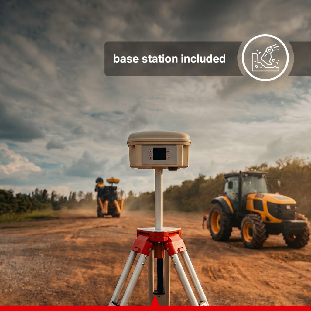
A local base station can provide RTK correction without depending on a third-party CORS network, subject to the selected package and radio configuration.
Because the current product selector does not publicly define every included component for each option, the precise package contents should be listed beside each selection before final publication.
The CANAMEK EasyCav 3D System for Excavator provides contractors and equipment operators with real-time three-dimensional guidance throughout excavation, grading, trenching, and earthmoving operations.
Traditional excavation often depends on grade stakes, survey crews, laser checks, manual measurements, and repeated communication between the operator and personnel outside the machine. These procedures can slow the project and increase the risk of digging above or below the intended surface.
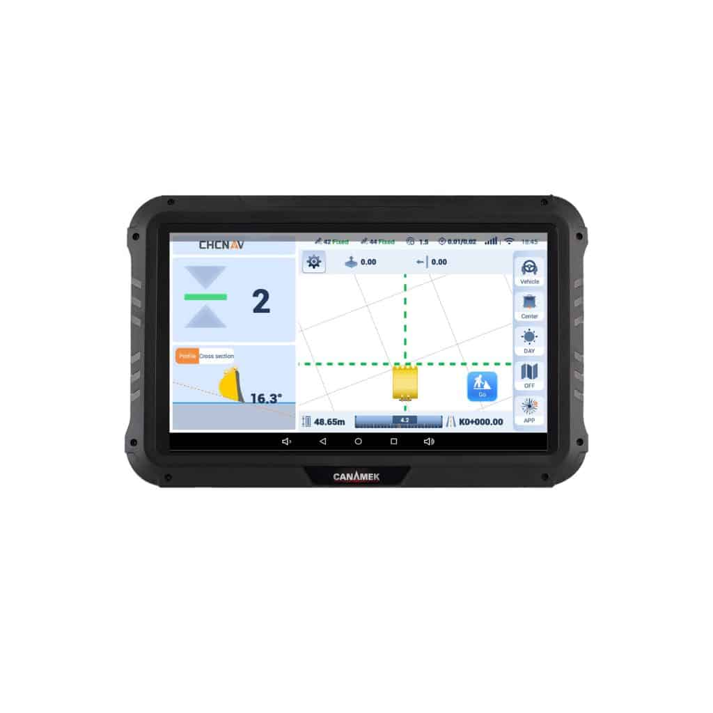
EasyCav places the required information directly in the excavator cab. The touchscreen displays the relationship between the bucket and the target elevation, allowing the operator to make informed adjustments while digging.
The system is designed to help operators complete excavation accurately in fewer passes while reducing repeated grade checking, over-excavation, under-excavation, unnecessary backfilling, and avoidable machine movement.
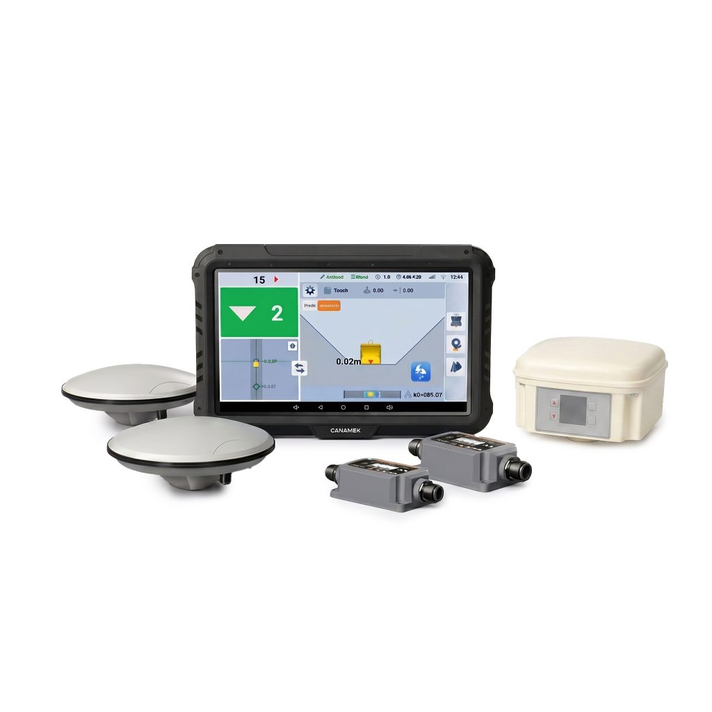
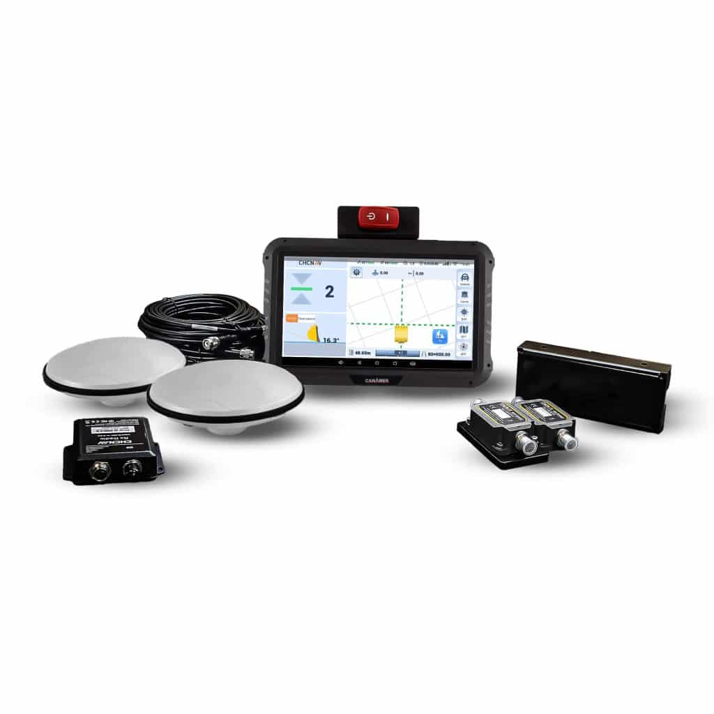
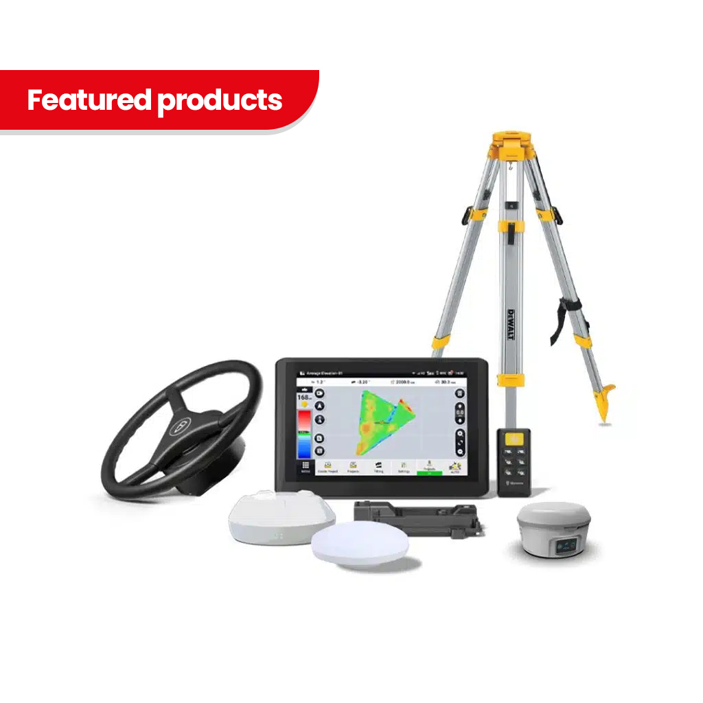
EasyCav uses a 10.1-inch / 256.5 mm touchscreen tablet with an integrated GNSS receiver.
The built-in receiver reduces the number of separate electronic modules required inside the excavator and provides a centralized interface for:
Important project information is displayed in a visual format so the operator can understand the current digging condition without relying exclusively on external measurements.
The manual identifies the tablet with its built-in GNSS receiver, two GNSS antennas, and two IMU sensors as the core positioning components of the system.
The system uses two GNSS antennas installed on the excavator boom.
The dual-antenna arrangement allows EasyCav to determine both position and machine heading. This is particularly important for an excavator because the upper structure can rotate independently of the undercarriage.
During installation:
This arrangement allows the system to maintain an accurate understanding of excavator heading and bucket location as the machine moves or rotates.
EasyCav continuously calculates the position of the excavator bucket relative to the selected target surface or elevation.
The operator can monitor:
This allows the operator to approach final grade more carefully and reduces dependence on repeated manual elevation checks.
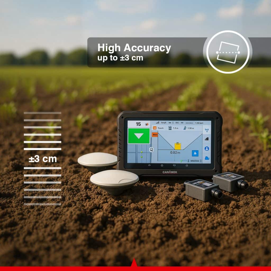
The published product page lists up to ±1.18 in / ±3 cm guidance accuracy under suitable RTK operating conditions. Actual accuracy depends on GNSS correction quality, calibration, antenna visibility, mechanical condition, sensor installation, bucket condition, and operator setup.
The tablet displays whether the bucket is above or below the selected design surface.
The operator can see how much material should be:
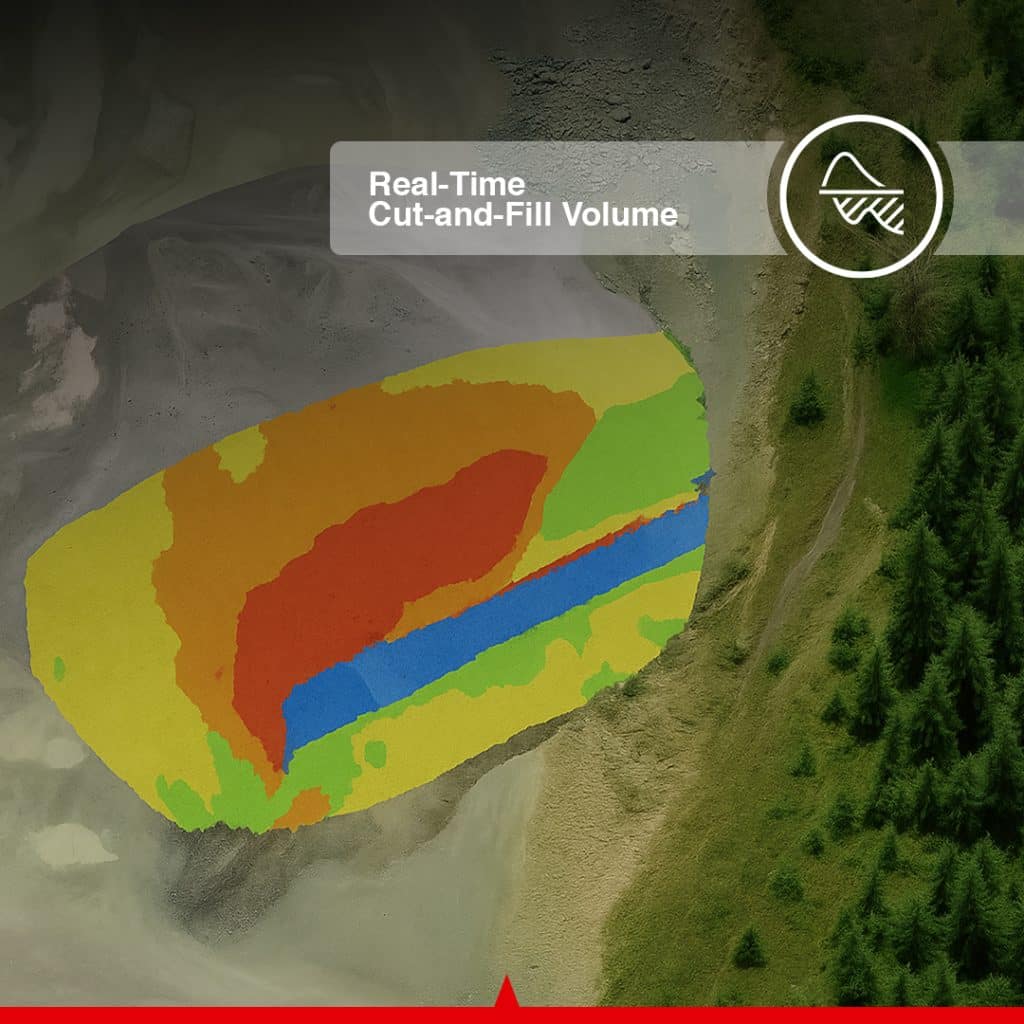
This live cut-and-fill guidance helps reduce excessive digging and unnecessary backfilling.
For example, if the bucket is approaching the final elevation, the operator can reduce the cutting depth before passing below the target. If an area remains above design, the system shows the remaining cut requirement.
This information is especially useful for foundation excavation, trenching, grading, road construction, drainage projects, and projects where the final elevation must be maintained across a larger area.
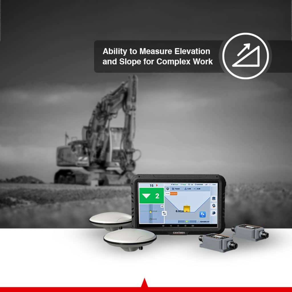
EasyCav can guide the operator according to a required slope rather than only a single horizontal elevation.
Slope guidance is useful for:
The operator can monitor the bucket in relation to the required sloped surface, helping maintain a more consistent grade from the beginning to the end of the excavation.
This can reduce irregular sections, sudden changes in slope, repeated checking, and corrective work after the initial excavation.
The system displays bucket angle and excavator orientation in real time.
Knowing the bucket angle helps the operator understand how the cutting edge is positioned relative to the target surface.
This is particularly useful when:
The display also helps the operator understand the machine’s heading and posture while the excavator rotates or changes working direction.
EasyCav uses IMU sensors to calculate the movement and angular position of the excavator linkage.
The standard installation normally uses:
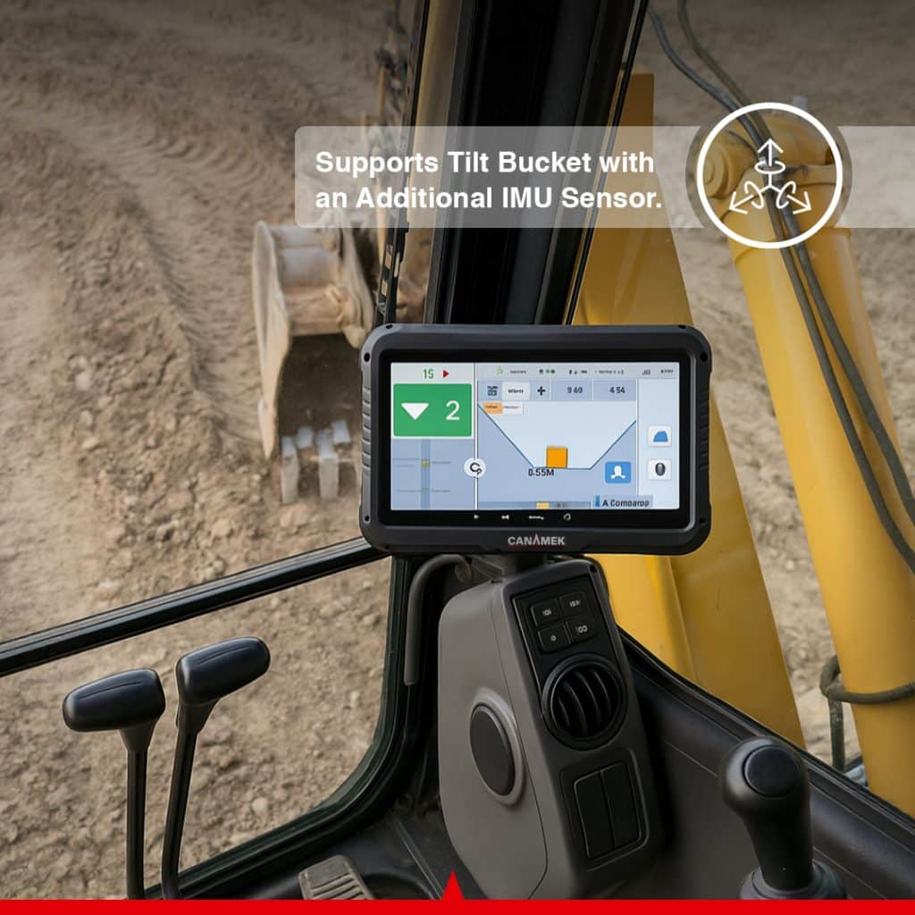
For excavators equipped with a compatible tilt bucket, an additional tilt sensor can be installed.
The system combines the measurements from the IMU sensors with dual-GNSS positioning and calibrated machine dimensions to calculate the three-dimensional position of the bucket tip.
The manual supports bucket-sensor installation either outside the dogbone linkage or inside the quick coupler, depending on machine configuration.
EasyCav can be configured for compatible tilt buckets by adding a third IMU sensor.
The tilt sensor allows the software to account for side-to-side bucket movement in addition to the normal boom, stick, and bucket rotation.
This is useful for:
The system includes a dedicated tilt-bucket configuration and calibration process. Sensor orientation, connector direction, bucket dimensions, bucket-tip height, and tilt-axis position are entered into the software during setup.
Excavators frequently use more than one bucket or attachment on the same project.
EasyCav supports the creation of multiple bucket profiles. Each profile can contain the dimensions and calibration data for a specific bucket.
Operators can create profiles for:
After changing the attachment, the operator can select the corresponding saved bucket profile instead of manually re-entering all dimensions.
The software supports regular and custom bucket configurations, as well as bucket-sensor mounting on the dogbone linkage or quick coupler.
The bucket IMU sensor can be installed inside a compatible quick coupler.
Quick-coupler installation may be useful when:
The sensor position is selected during software configuration so that the calibration process matches the physical installation.
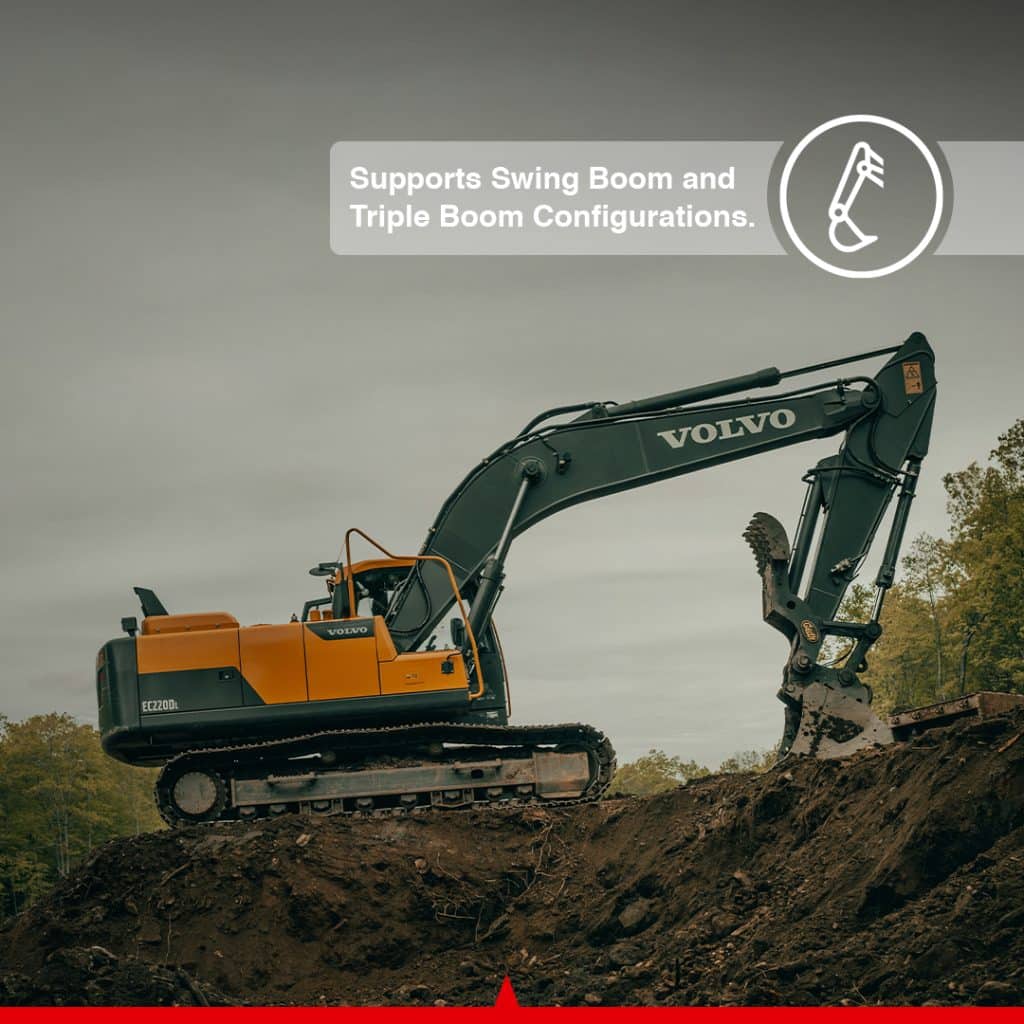
EasyCav can be configured for different excavator geometries, including supported swing-boom and triple-boom arrangements.
This makes it particularly useful for compact and medium excavators used in:
Machine dimensions, sensor positions, antenna placement, linkage geometry, and bucket measurements must be entered accurately during calibration.
The current product page specifically identifies swing-boom and triple-boom support among the system’s available capabilities.
EasyCav has been designed to simplify the installation and calibration workflow.
Installation includes:
The current product page states that installation may be completed in under one hour, calibration in under 15 minutes, and basic operator familiarization in approximately 30 minutes. These times should be treated as estimates for a compatible, prepared machine and an experienced installer.
Accurate calibration is essential for correct 3D bucket positioning.
During calibration, the installer enters measured dimensions for:
The software then guides the installer through antenna, stick-sensor, bucket-sensor, and optional tilt-sensor calibration.
The manual requires machine dimensions to be measured and entered in millimeters. It also provides separate calibration workflows for dogbone-mounted sensors, quick-coupler sensors, standard buckets, custom buckets, and tilt buckets.
The mechanical condition of the excavator directly affects guidance performance.
Before installing EasyCav, the excavator should be inspected for:
Mechanical movement that is not measured by the sensors can create differences between the calculated and actual bucket-tip position.
For this reason, worn pins, loose bucket components, leaking cylinders, or unstable linkage components should be repaired before final calibration.
After the machine and bucket have been calibrated, the system can be checked against a fixed point.
The bucket is moved to the same known point from different excavator positions. The measured elevation should remain within the acceptable verification tolerance.
The manual considers a difference of no more than 1.97 in / 5 cm acceptable during this field verification procedure. This is a calibration check tolerance and should not be confused with the published guidance accuracy of up to ±1.18 in / ±3 cm under suitable operating conditions.
High-precision GNSS operation requires a suitable RTK correction source.
Depending on the selected package and project location, EasyCav can work with:
A local base station may be preferable on remote projects or in areas without reliable cellular coverage.
CORS may be convenient where a suitable correction network and mobile-data connection are available.
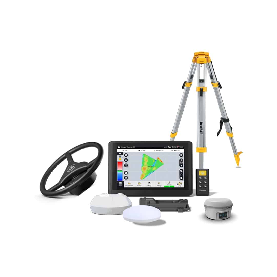
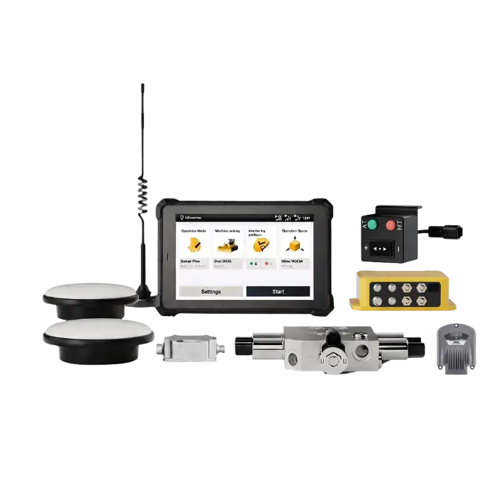
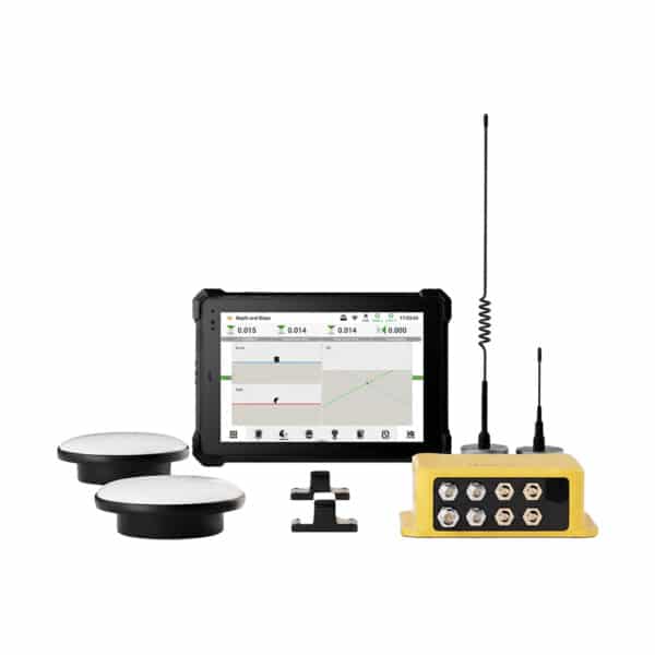
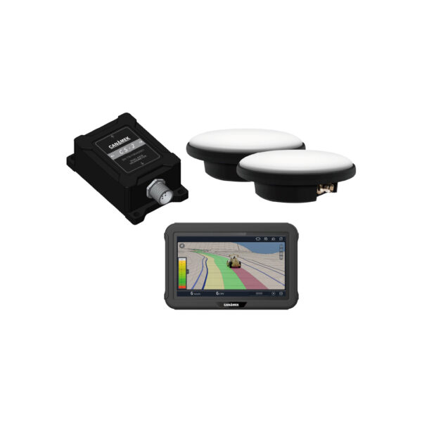
The current product page offers Core System, RTK Ready, and Turnkey System selections and identifies the base station as an optional package component.
EasyCav is intended to simplify common excavation projects without requiring the operator to be a specialist in complex CAD software.
For supported jobs, the operator can configure basic project requirements directly through the tablet, including:
This is useful for straightforward excavation work where a complex external 3D design file is unnecessary.
The current page identifies on-site surface-design tools and states that common operations can be completed without requiring advanced CAD knowledge.
EasyCav does not eliminate the need for proper surveying or project verification, but it can reduce repeated interruptions during excavation.
With real-time guidance inside the cab, operators may require fewer stops for:
This can help the excavator remain productive for a larger portion of the working day.
Over-excavation creates additional project costs because excess material must often be replaced, compacted, transported, or disposed of.
Potential consequences include:
Real-time offset and elevation information allows the operator to see when the bucket is approaching the target surface, reducing the likelihood of digging significantly below design.
EasyCav provides continuous information directly to the operator, allowing excavation decisions to be made with greater confidence.
Potential operational benefits include:
Actual productivity improvements depend on the machine, operator, project design, correction source, installation quality, calibration, site conditions, and required tolerance.
Reduce repeated grade checks, avoid unnecessary over-excavation, and give the operator continuous bucket-position, elevation, slope, and cut-and-fill information with the CANAMEK EasyCav 3D System for Excavator.
Contact CANAMEK to confirm excavator compatibility, bucket configuration, tilt-sensor requirements, RTK correction options, and the recommended package for your project.
The CANAMEK EasyCav 3D System for Excavator is a GNSS-based excavation guidance system that displays real-time bucket position, elevation, depth, slope, offset, bucket angle, excavator orientation, and cut-and-fill information.
No. EasyCav is an operator-guidance system. It provides real-time positioning and grade information, while the operator remains responsible for controlling the boom, stick, bucket, swing, and machine movement.
The published guidance accuracy is up to ±1.18 inches or ±3 centimeters under suitable RTK conditions. Actual performance depends on correction quality, calibration, GNSS visibility, machine condition, installation, and bucket configuration.
The tablet can display bucket elevation, target elevation, remaining cut or fill, digging offset, slope, bucket angle, excavator orientation, machine heading, and other real-time guidance information.
Yes. The 10.1-inch touchscreen tablet contains a built-in GNSS receiver.
The two antennas help the system determine the excavator’s position and heading as the upper structure rotates. The antennas are installed on the same side of the boom with at least 3.28 feet or 1 meter between them.
The standard system normally uses two IMU sensors: one for the stick and one for the bucket. A third sensor is required for supported tilt-bucket configurations.
Yes. Compatible tilt buckets can be supported by installing and calibrating an additional IMU sensor.
Yes. The software supports multiple standard or custom bucket profiles for faster switching between attachments.
Yes. The bucket sensor can be installed outside the dogbone linkage or inside a compatible quick coupler.
Yes. EasyCav supports compatible swing-boom and selected triple-boom excavator configurations.
Yes. The system provides real-time cut-and-fill guidance showing the bucket’s position relative to the selected target surface.
Advanced CAD knowledge is not required for common excavation work. Basic target elevations, offsets, slopes, surfaces, and machine settings can be configured through the tablet for supported applications.
Yes. High-precision operation requires a compatible correction source, such as a local GNSS base station or a supported CORS/NTRIP service.
Base-station inclusion depends on the selected package. The current product options include Core System, RTK Ready, and Turnkey System configurations, with the base station identified as optional.
The standard package includes permanent software for the purchased configuration with no annual tablet software fee.
The published estimate is less than one hour for installation and less than 15 minutes for calibration on a compatible, prepared excavator when the work is completed by an experienced installer.
The excavator should be checked for worn pins, loose bucket linkage, quick-coupler movement, hydraulic-cylinder leakage, loose cutting edges, and other mechanical movement that could reduce positioning accuracy.
The product includes a two-year warranty and CANAMEK after-sales support seven days a week, subject to the applicable warranty and service terms.
| Details | Core System | RTK Ready | Turnkey System |
| Specification | Value |
|---|---|
| Product Type | GNSS-based 3D excavator guidance system |
| Guidance Function | Real-time operator guidance; not automatic hydraulic machine control |
| Published Guidance Accuracy | Up to ±1.18 in / ±3 cm |
| Display | 10.1 in / 256.5 mm touchscreen |
| GNSS Receiver | Integrated into the tablet |
| Standard GNSS Antennas | 2 |
| Minimum Antenna Separation | 3.28 ft / 1 m |
| Standard IMU Sensors | 2: stick sensor and bucket sensor |
| Tilt-Bucket Configuration | 1 additional IMU sensor required |
| Standard Bucket Sensor Locations | Outside dogbone or inside compatible quick coupler |
| Correction Support | Compatible RTK base station or supported CORS/NTRIP service |
| Software | Permanent software for the purchased system configuration |
| Annual Tablet Software Fee | None for the standard purchased software package |
| Bucket Profiles | Multiple standard or custom bucket profiles |
| Machine Configurations | Standard, swing-boom, and supported triple-boom excavators |
| Tilt-Bucket Support | Available with additional sensor and calibration |
| Displayed Information | Elevation, slope, offset, cut/fill, bucket angle, machine heading and posture |
| Field Precision Check | Maximum acceptable difference: 1.97 in / 5 cm |
| Specification | Requirement |
|---|---|
| Main and Auxiliary Antenna Location | Same side of excavator boom |
| Minimum Antenna Spacing | 3.28 ft / 1 m |
| Stick Sensor | Installed on the excavator stick |
| Standard Bucket Sensor | Dogbone or quick-coupler installation |
| Tilt Sensor | Optional; required for monitored tilt-bucket operation |
| Stick Sensor Bracket Alignment | Maximum deviation: 20° |
| Dogbone Bucket Bracket Alignment | Maximum deviation: 20° |
| Tilt-Sensor Bracket Alignment | Maximum deviation: 10° |
| Machine Dimension Entry | Entered in millimeters |
| Standard Bucket Calibration | Plumb-bob or measuring-tape method |
| Custom Bucket Support | Yes |
| Quick-Coupler Bucket Calibration | Supported |
| Tilt-Axis Calibration | Supported |
| Precision Verification | Fixed-point comparison from multiple machine positions |
The CANAMEK EasyCav 3D System for Excavator is suitable for excavation and grading projects that require continuous elevation, depth, slope, bucket-position, or cut-and-fill guidance.
Guide the bucket toward the required foundation depth while reducing over-excavation and repeated grade checks.
Maintain more consistent trench depth and slope for electrical, water, gas, telecommunications, and utility installations.
Create controlled drainage slopes for pipes, ditches, channels, outlets, and agricultural drainage systems.
Guide excavation depth and slope for tanks, beds, trenches, and related site preparation.
Support ditch excavation, shoulder shaping, subgrade preparation, culvert work, and roadside grading.
Follow a defined slope for embankments, pond banks, drainage channels, canals, and landscaped surfaces.
Create drainage ditches, waterways, pond areas, and controlled field-drainage channels.
Monitor depth and slope while shaping ponds, canals, reservoirs, and water-management structures.
Support basement excavation, footings, utility connections, drainage preparation, landscaping, and final grading.
Improve control over excavation depth and surface preparation for buildings, yards, roads, and infrastructure.
Guide grading and excavation for retaining walls, terraces, drainage swales, ponds, and finished landscape surfaces.
Support controlled dredging, bank shaping, channel cleaning, and waterway maintenance where suitable GNSS reception is available.
Use the optional tilt sensor to monitor side-to-side bucket movement during slope shaping and finishing work.
Add professional 3D guidance to compact and medium excavators used on sites where conventional machine-control packages may be unnecessarily complex.
Be the first to review this product.
Every unit ships with everything needed to put it to work in under an hour.
Get sizing help and tech answers from a real human, in <2 min.
Call +1 (855) CANAMEKTell us your acreage and crop, get a turnkey estimate in 24 hours.
Email sales →
Write a review