The TOPO-mizer Land Leveling & Drainage System is an advanced GNSS-based solution developed for precision land leveling, agricultural drainage management, field surveying, terrain design, and automatic blade control.
Designed for farmers, land leveling contractors, irrigation professionals, drainage specialists, and earthmoving operators, TOPO-mizer creates accurately leveled or precisely sloped surfaces while minimizing unnecessary earth movement. The system combines topographic surveying, optimized surface design, hydraulic blade control, project visualization, earthmoving calculations, file management, and remote technical assistance in one complete platform.
Whether the project involves paddy fields, dryland farms, irrigated fields, uneven agricultural ground, single-slope terrain, dual-slope surfaces, or drainage-sensitive land, TOPO-mizer provides a practical solution for improving water movement, soil drainage, field performance, and overall land productivity.
TOPO-mizer integrates the entire land preparation process into a single GNSS land leveling system. Operators can survey the field, analyze existing elevations, design the required surface, calculate cut-and-fill requirements, automatically control the grading blade, and maintain digital project records directly from the control terminal.
The system supports:
This integrated workflow reduces the need to use separate surveying, design, machine-control, and reporting tools.
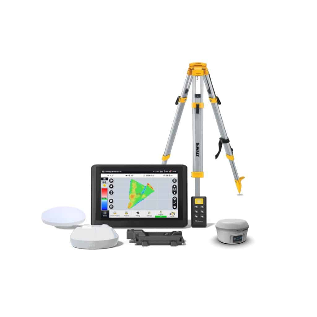
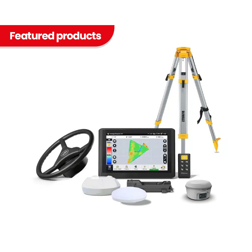
The TOPO-mizer Land Leveling & Drainage System is available in four package configurations. The Core Version is supplied without a GNSS base station and is intended for customers who will complete the system setup themselves. The Standalone GPS package adds the GNSS base station while keeping installation and setup customer-managed. The Standalone GPS & Valve package includes both the GNSS base station and hydraulic control valve for customers who require a complete GPS-to-hydraulic machine-control configuration but prefer to perform the setup themselves. The Turnkey System includes the TOPO-mizer system, GNSS base station, hydraulic valve, and professional setup for customers who want a complete ready-to-deploy solution. Customers can also choose between a Single Rover Antenna configuration for standard GNSS positioning and a Dual Rover Antenna configuration, which adds a second GNSS antenna for additional implement-position or attitude information where required.
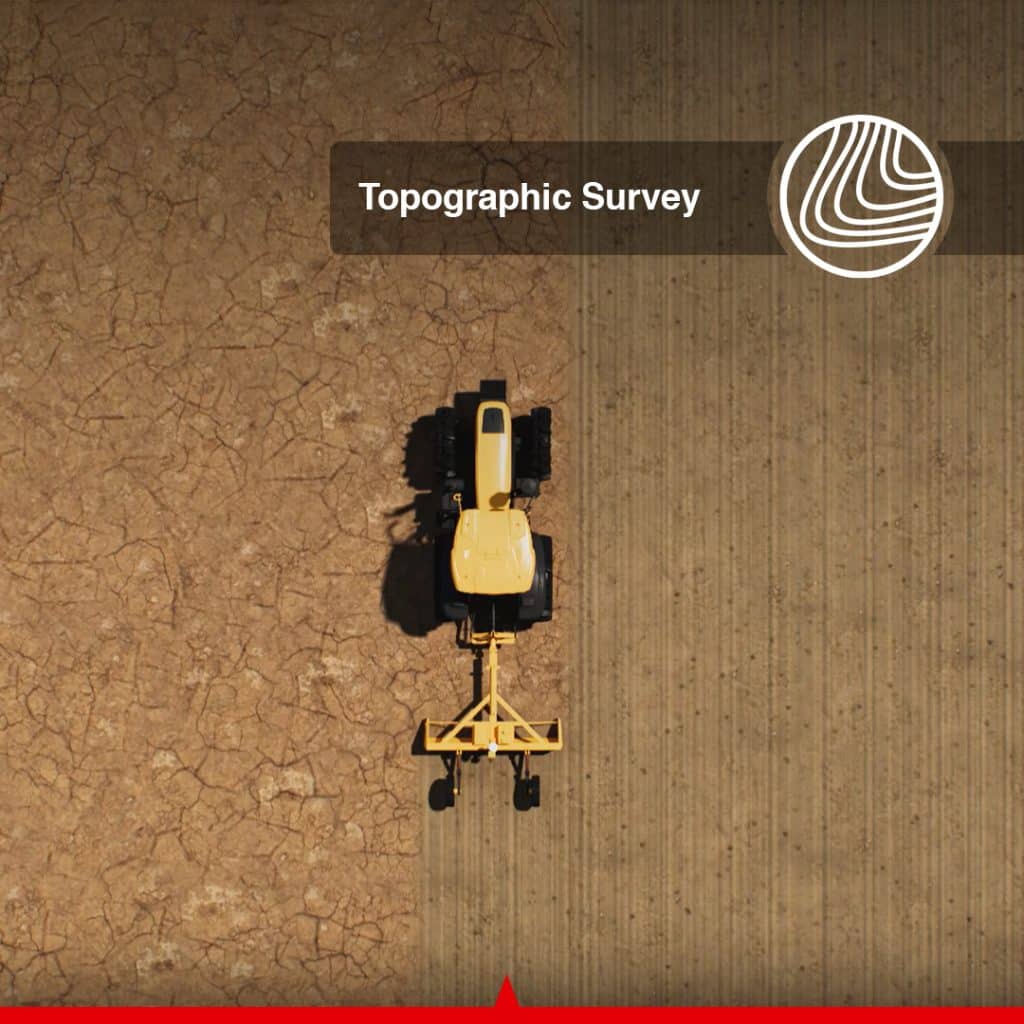
TOPO-mizer collects real-time topographic elevation data directly from the tractor, land leveler, box blade, or compatible grading equipment.
The field survey creates an accurate digital representation of the existing ground surface, allowing the operator to identify:
For projects with simple surface profiles, the operator can survey and design the field directly on the tablet without transferring the project to separate design software.
Using the collected topographic information, TOPO-mizer generates optimized surface designs intended to achieve the required elevation and drainage performance with minimum earth movement.
Operators can fine-tune important project parameters, including:
Reducing unnecessary soil movement can lower fuel consumption, shorten machine operating time, reduce soil compaction, preserve productive topsoil, and improve overall project efficiency.
The tablet can also display the estimated quantity of soil that must be moved according to the selected surface and slope design. Earthmoving volume can be presented in cubic yards for North American projects and cubic meters for international projects.
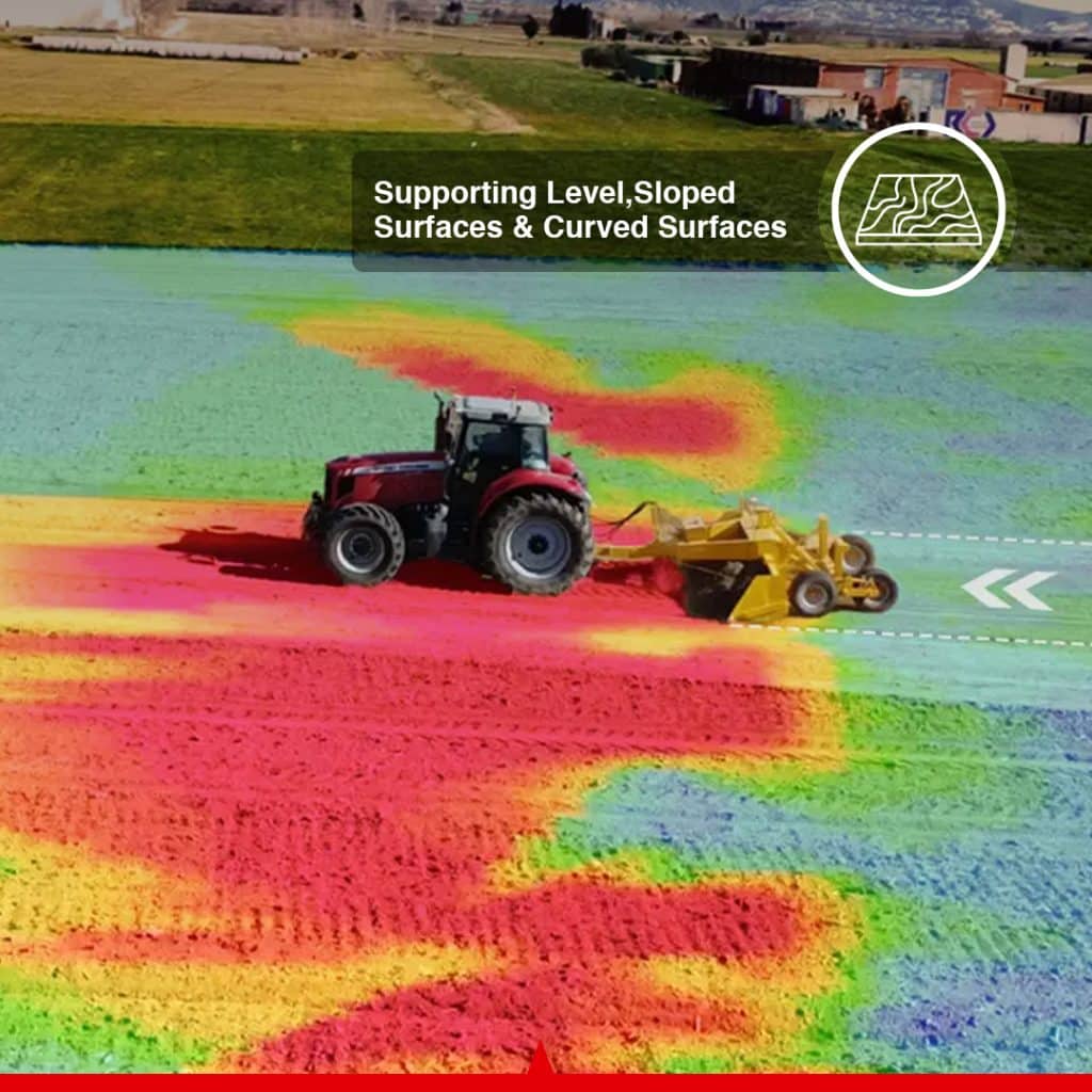
Different agricultural and drainage projects require different surface designs. TOPO-mizer supports multiple terrain configurations so the operator can select the most suitable design for the field.
Supported surface types include:
Creates a consistent target elevation across the project area for applications requiring a uniformly level field.
Creates one continuous slope to move irrigation or surface water in a selected direction.
Creates two connected surface planes for fields requiring split drainage directions, more complex water movement, or multi-slope terrain management.
This multi-terrain compatibility makes TOPO-mizer suitable for level fields, sloped ground, paddy fields, dryland farms, clay-heavy soil, sandy farmland, drought-prone regions, and fields affected by uneven surface drainage.
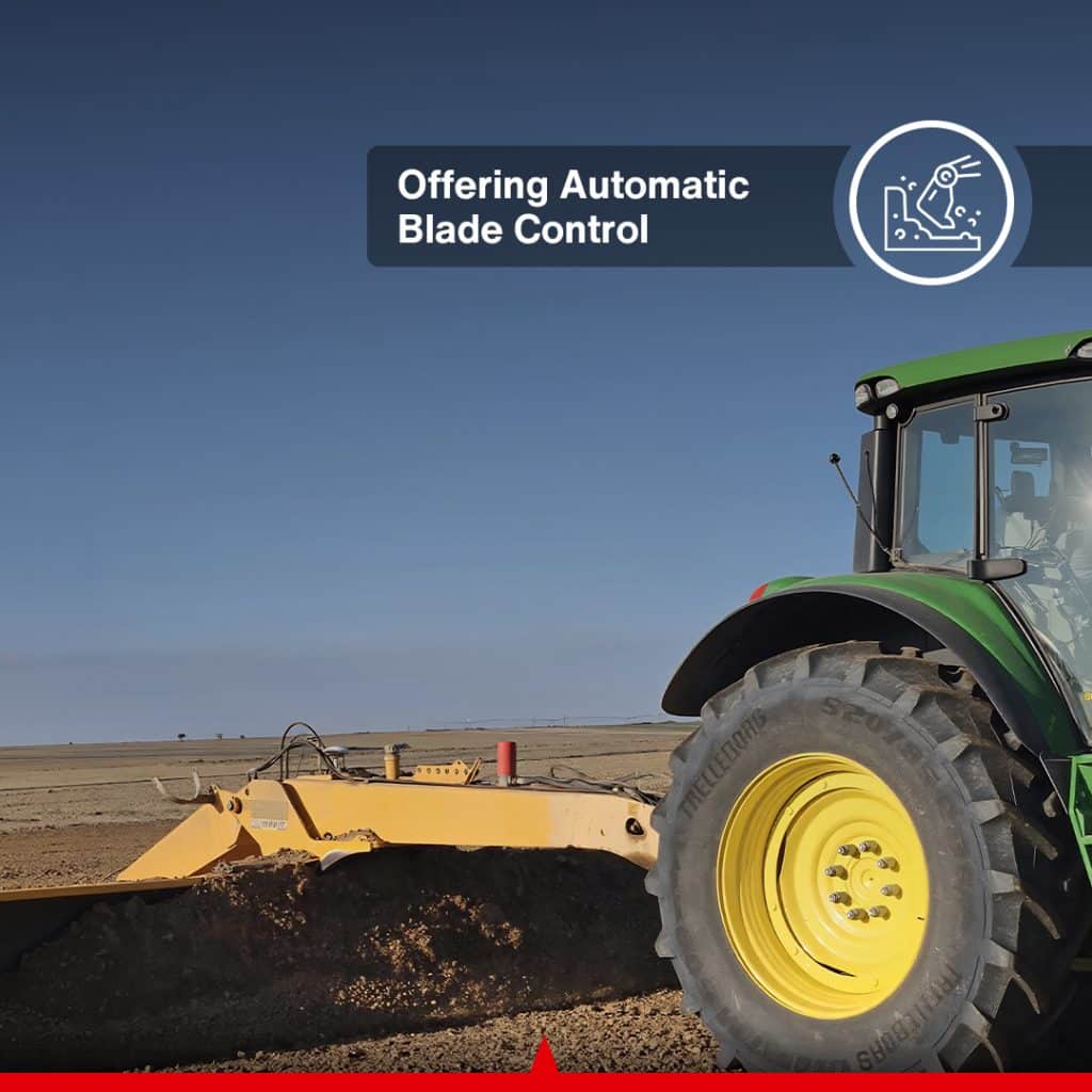
TOPO-mizer continuously compares the actual blade position with the approved digital surface design. The Vehicle Control Unit then communicates with the compatible hydraulic system to automatically adjust the grading implement.
Depending on the machine and selected configuration, the system can control:
Automatic blade control reduces the need for constant manual adjustments and helps the operator maintain the required elevation and slope throughout the project.
This provides more consistent grading performance, reduces operator fatigue, and improves accuracy during long working periods.
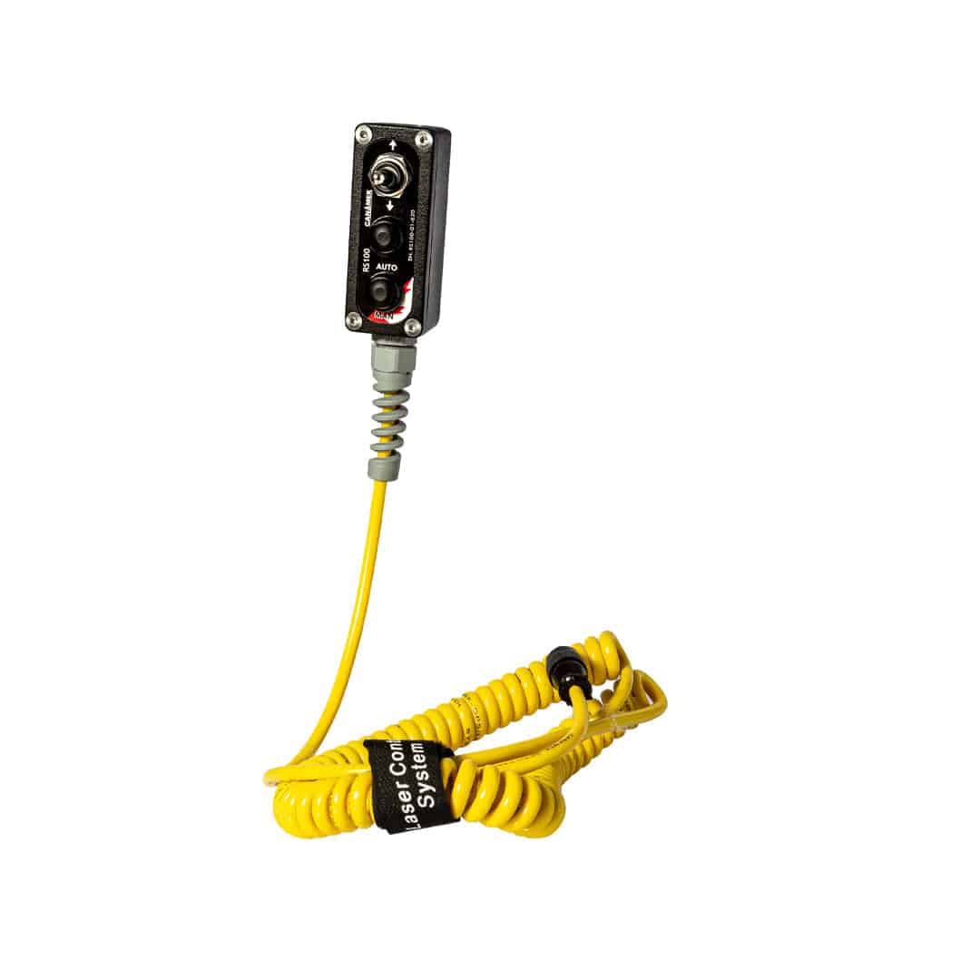
The optional wireless remote control provides convenient access to essential grading functions from inside the operator’s cab.
Depending on the configured hydraulic system, the remote can be used for:
The remote allows the operator to manage essential functions without repeatedly navigating through the touchscreen interface.
The system uses a high-precision GNSS receiver with an integrated IMU attitude sensor to monitor the position and movement of the machine or grading implement.
Integrated attitude compensation helps maintain stable blade control while the tractor or machine travels across uneven or dynamic terrain. This improves performance when the implement experiences pitch, roll, vibration, or changing ground conditions.
A second GNSS antenna can also be installed in compatible configurations when additional implement-position or attitude information is required.
The TOPO-mizer control terminal provides a 3D color-coded view of the surveyed field and proposed project surface.
The screen can display:
The tractor’s live position can be viewed within the digital project during operation. The visual interface also supports working in low-light and nighttime conditions, helping operators monitor grading progress during extended operating hours.
For projects where the required cut depth exceeds the practical capacity of the tractor or grading implement, TOPO-mizer can apply elevation offsets to the designed surface.
This allows the operator to complete excavation or grading in multiple controlled passes rather than attempting to reach the final design elevation in one pass.
Step-by-step elevation offsets can help:
TOPO-mizer is designed to improve the movement and distribution of water across agricultural land.
By correcting field elevation, removing surface depressions, and creating controlled slopes, the system can help direct excess water toward drainage channels, outlets, ditches, or designated collection areas.
Improved surface drainage can:
The result is a more manageable field surface that supports both irrigation efficiency and drainage performance.
Uneven agricultural land often contains depressions or holes that collect water and remain wet after the surrounding field has dried.
These areas can create several operational and agronomic problems:
TOPO-mizer helps identify and correct these low areas by incorporating them into the proposed field design.
Eliminating water patches can increase the usable planting area and reduce the recurrence of weeds that have developed in water-holding depressions during previous seasons.
A properly leveled and drained field dries more uniformly after rainfall or irrigation.
Uniform drying allows farmers to manage cultivation and field operations more effectively because machinery can enter a larger portion of the field at the appropriate time.
This can improve the scheduling of:
More uniform field conditions reduce the need to delay an entire operation because a limited number of low areas remain wet.
Standing water, saturated soil, and persistent muddy areas increase the risk of tractors, combines, sprayers, and other agricultural equipment becoming stuck.
Recovering a machine from mud can result in:
By correcting low spots and improving surface drainage, TOPO-mizer can help reduce the likelihood of machinery entering excessively wet or unstable areas.
A more uniform field surface supports more consistent water distribution and crop-development conditions.
When irrigation water is distributed more evenly, plants are less likely to experience severe differences in moisture availability across the same field.
Potential agronomic benefits include:
More uniform water distribution can support more uniform plant growth, which may contribute to improved yield and easier field management.
Actual results depend on field design, crop type, soil conditions, weather, irrigation practices, drainage infrastructure, and farm-management decisions.
Uncontrolled slopes and uneven surfaces can cause water to collect in some areas while flowing too quickly through others.
TOPO-mizer allows operators to control elevation and slope according to the field’s irrigation and drainage requirements.
A properly designed surface can help:
By improving water movement, the system can help farmers use available water more effectively, particularly in drought-prone or water-restricted regions.
Uneven water distribution may cause agricultural inputs to move away from their intended application zones or become concentrated in low areas.
Improved field uniformity and controlled water movement can help reduce:
These improvements may contribute to better utilization of fertilizers, pesticides, and other agricultural inputs while supporting more consistent crop performance.
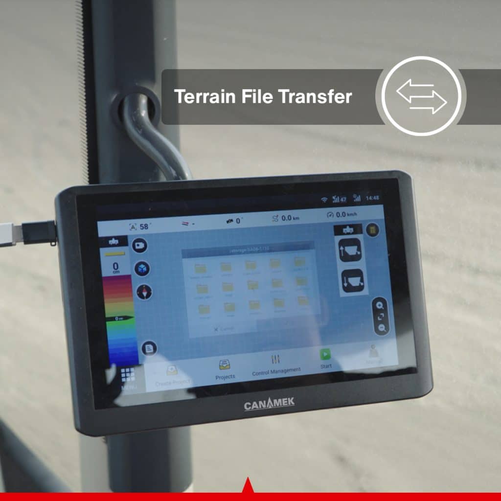
TOPO-mizer supports flexible data exchange for contractors, designers, and multi-machine operations.
Operators can:
This allows a field to be surveyed with one machine, designed by another operator, and graded by one or more compatible machines.
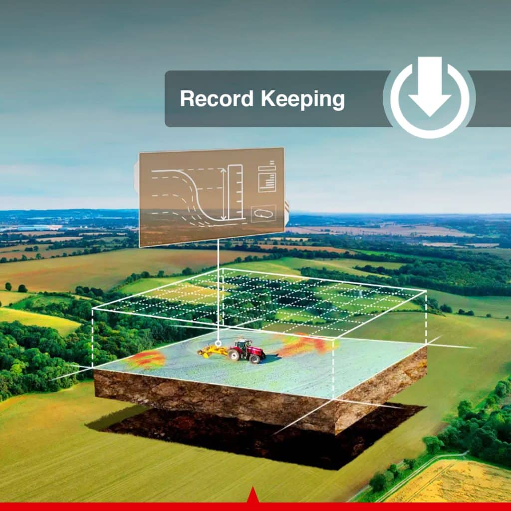
Accurate project records are important for farm management, contractor documentation, future maintenance, and customer reporting.
TOPO-mizer can generate project information and PDF reports for:
Digital record keeping reduces reliance on handwritten notes and allows completed project information to be reviewed later.
TOPO-mizer supports remote assistance, allowing authorized dealers or service-team personnel to help diagnose system issues and provide technical guidance.
Remote support can help with:
Over-the-air software updates provide access to compatible software improvements without requiring traditional manual update procedures.
Remote functions depend on the availability of cellular or internet connectivity and the service configuration used in the customer’s region.
The TOPO-mizer package includes permanent access to the required tablet software for the purchased system configuration.
Key ownership benefits include:
Optional future services, third-party connectivity, additional modules, or separately purchased support packages may be subject to different commercial terms.
The TOPO-mizer package can include its own GNSS base station, allowing the system to operate without relying on a paid external CORS correction-network subscription.
This means the operator is not dependent on:
The included local base station provides the correction source required for compatible high-precision operation.
The system does not require connection to an external fixed base-station network when operating with its included local base configuration.
TOPO-mizer provides solutions for a wide range of agricultural, drainage, reclamation, and construction applications.
Typical applications include:
The TOPO-mizer package includes the following ownership and support benefits:
The TOPO-mizer Land Leveling & Drainage System combines surveying, terrain design, automatic hydraulic control, drainage planning, project visualization, and digital reporting in one professional platform.
It allows operators to move from the initial field survey to the completed grading project with fewer separate tools, less guesswork, and greater control over elevation, slope, water movement, and earthmoving requirements.
For farmers, it provides a practical way to improve irrigation distribution, field drainage, planting conditions, and usable acreage.
For contractors, it provides a complete GNSS land leveling workflow with flexible project sharing, automatic blade control, earthmoving calculations, and detailed project records.
For irrigation and drainage professionals, it provides the tools required to design and create controlled surfaces that move water efficiently while reducing erosion, runoff, soil loss, and unnecessary earth movement.
TOPO-mizer is a GNSS-based 3D land leveling and drainage system that combines topographic surveying, terrain design, automatic blade control, project-file transfer, and digital reporting.
Yes. The system can collect topographic elevation data directly from the land leveler or compatible grading implement. The collected data can then be used to prepare a terrain design or transferred for external project planning.
Yes. When installed on a compatible hydraulic system, TOPO-mizer compares the actual blade position with the approved terrain design and automatically controls the implement to maintain the required elevation and slope.
The system supports level surfaces, single-surface designs, and double-surface designs. Operators can configure target elevation, slope, water-flow direction, and cut-and-fill settings.
Yes. Operators can create controlled slopes and select water-flow directions to prepare fields for surface drainage, irrigation flow, drainage outlets, and water-management projects.
TOPO-mizer uses surveyed topographic information to prepare optimized surface designs. Operators can adjust elevation, slope, and cut-and-fill parameters to reduce unnecessary soil movement while meeting project requirements.
Yes. Project data can be exported and transferred to other compatible TOPO-mizer systems, supporting multi-machine grading and contractor operations.
Yes. The system supports the import of compatible third-party AGD terrain-design files.
Yes. TOPO-mizer can export PDF project reports for record keeping, project management, and customer documentation.
TOPO-mizer can be configured for compatible tractors, land levelers, box blades, grading scrapers, skid steers, compact track loaders, bulldozers, and other hydraulically controlled grading equipment. Compatibility must be confirmed for each machine and implement.
No. TOPO-mizer is a GNSS-based system and uses satellite positioning as its primary elevation and positioning reference rather than a conventional rotating laser transmitter.
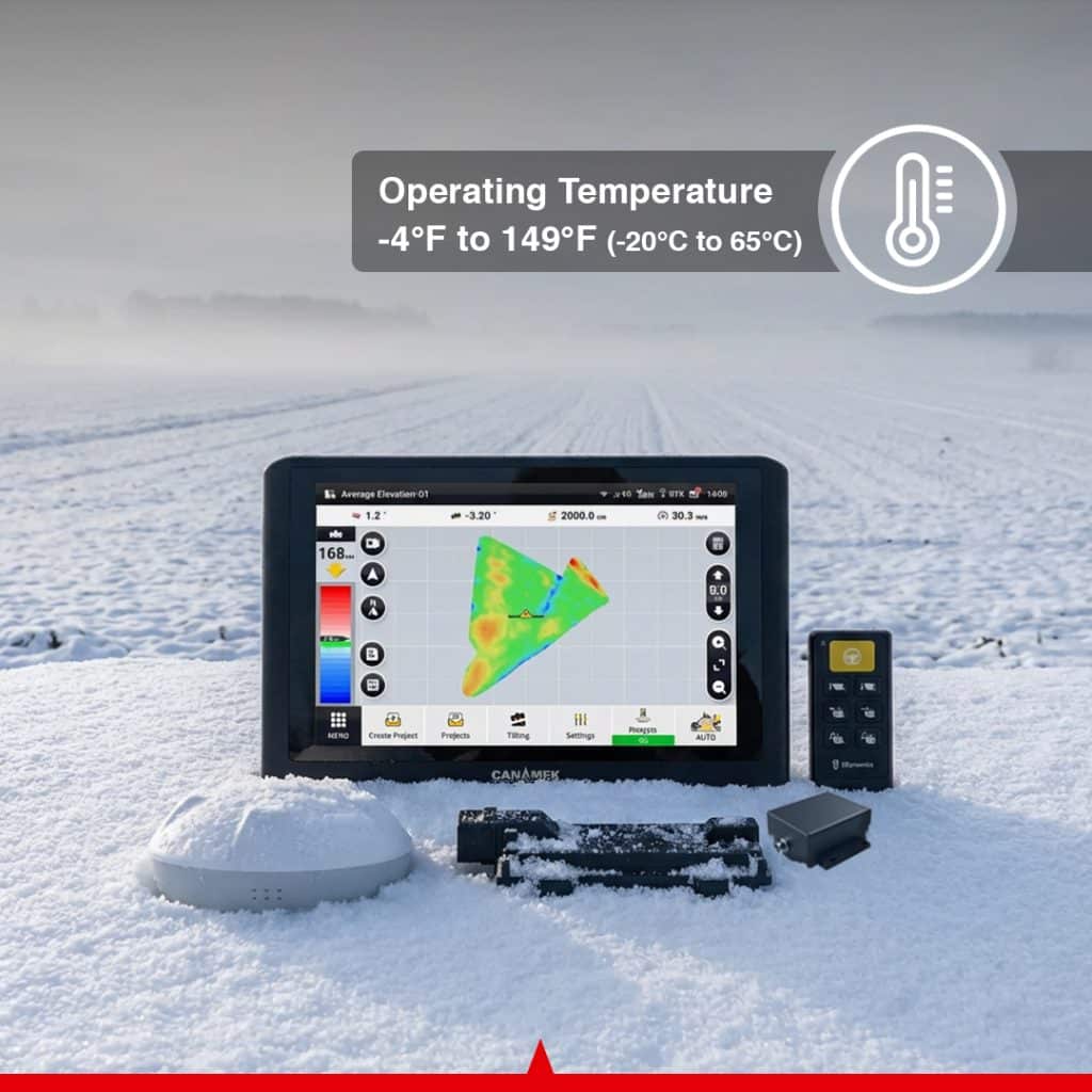
The main components support a 9–36 V DC input range, making the system suitable for many machines with 12 V or 24 V DC electrical systems.
The control terminal is rated IP65, the GNSS receiver is rated IP66, and the VCU and Easy Control keypad are rated IP67.
Yes. A second GNSS antenna is available for compatible integrated or dual-antenna configurations.
Yes. The system supports over-the-air updates and remote assistance when the required network connection and support services are available.
The Easy Control handheld keypad is an optional component. The exact package contents depend on the selected system configuration.
| Choose | Core Version | Standalone GPS | Standalone GPS & Valve | Turnkey System |
| Antenna | Single Rover Antenna | Dual Rover Antenna |
| Specification | Value |
|---|---|
| Display | 10.1 in / 256.5 mm capacitive touchscreen |
| Backlight | LED |
| Dimensions | 275 × 180 × 40 mm / 10.83 × 7.09 × 1.57 in |
| Memory | 2 GB RAM |
| Internal Storage | 8 GB ROM |
| Audio | Integrated speaker |
| Power Input | 9–36 V DC |
| Supported Machine Voltage | Suitable for typical 12 V and 24 V DC machines |
| Mobile Network | 4G, backward-compatible with supported 2G/3G networks |
| 4G Frequency Bands | B1, B2, B3, B5, B8, B38, B39, B40 and B41 |
| Wi-Fi | 2.4 GHz |
| Wi-Fi Frequency Range | 2412–2484 MHz |
| Wi-Fi Output Power | 14 ± 2 dBm |
| Signals Received | GNSS/satellite, radio and 4G |
| Relative Humidity | 0–95% at 40°C / 104°F, non-condensing |
| Operating Temperature | −20°C to 70°C / −4°F to 158°F |
| Storage Temperature | −40°C to 85°C / −40°F to 185°F |
| Ingress Protection | IP65 |
| Specification | Value |
|---|---|
| Dimensions | 162 × 64.5 mm / 6.38 × 2.54 in |
| Power Input | 9–36 V DC |
| Operating Current | Less than 300 mA |
| GPS Signals | L1 C/A, L1C, L2P(W), L2C and L5 |
| GLONASS Signals | L1 and L2 |
| BeiDou Signals | B1I, B2I, B3I, B1C and B2a |
| Galileo Signals | E1, E5a and E5b |
| Augmentation | SBAS |
| IMU Accelerometer Accuracy | 0.5 mg |
| IMU Gyroscope Accuracy | 0.1°/s |
| Roll/Pitch Specification | 0.2° |
| Operating Temperature | −20°C to 70°C / −4°F to 158°F |
| Storage Temperature | −40°C to 85°C / −40°F to 185°F |
| Ingress Protection | IP66 |
| Specification | Value |
|---|---|
| Dimensions | 184.1 × 148 × 42.6 mm / 7.25 × 5.83 × 1.68 in |
| Power Supply | 9–36 V DC |
| Maximum Total Current | 30 A |
| Main Connector | 64-pin Aptiv |
| Operating Temperature | −40°C to 85°C / −40°F to 185°F |
| Storage Temperature | −40°C to 105°C / −40°F to 221°F |
| Ingress Protection | IP67 |
| Specification | Value |
|---|---|
| Configuration | Optional |
| Power Input | 9–36 V DC |
| Operating Temperature | −40°C to 85°C / −40°F to 185°F |
| Storage Temperature | −40°C to 85°C / −40°F to 185°F |
| Ingress Protection | IP67 |
| Button Service Life | At least 1,000,000 keystrokes |
| Operation | Cab-mounted or handheld operation inside the cab |
| Specification | Value |
|---|---|
| Radio Frequency | Regional configuration: 915 MHz or 433 MHz |
| 915 MHz Antenna Operating Temperature | −20°C to 65°C / −4°F to 149°F |
| Cellular Antenna Bands | B1, B2, B3, B5, B8, B38, B39, B40 and B41 |
| Radio Antenna Availability | Configuration-dependent and may be optional |
| Second GNSS Antenna | Available for compatible integrated or dual-antenna configurations |
| Connection | Details |
|---|---|
| VCU Main Connector | 64-pin Aptiv locking connector |
| Control Terminal Connections | Color-coded main and sub harness connectors |
| GNSS Receiver Connection | Dedicated IMU/GNSS wiring harness |
| Signal Conversion Input | 12-pin connector labeled C5 |
| Signal Conversion Output | 4-pin connector labeled C3 |
| VCU CAN Connection | 4-pin connector labeled CAN 250K |
| Solenoid Valve Connection | Locking solenoid-valve harness |
| Valve Adapter Connection | Matching connectors labeled PVE0 |
| Second GNSS Connection | RF cable between primary and secondary GNSS antennas |
| Main Power Connection | Direct battery connection through the supplied power harness |
| Typical Input Voltage | 12 or 24 V DC machine electrical system |
| Supported Input Range | 9–36 V DC |
The TOPO-mizer Land Leveling & Drainage System is designed for precision surface preparation in agricultural, water-management, and earthmoving applications.
Create consistent level or sloped field surfaces for improved irrigation distribution and more uniform farming conditions.
Configure controlled slopes and water-flow directions to move excess surface water toward drainage ditches, channels, or designated outlets.
Prepare level field surfaces for controlled water depth and more uniform water distribution across rice-production areas.
Correct high and low areas, improve surface uniformity, and prepare fields for planting, irrigation, or drainage.
Survey and reshape undeveloped, uneven, or previously unusable land for agricultural or construction use.
Convert or reshape sloped agricultural land using controlled single- or double-surface designs.
Support grading work for agricultural canals, drainage channels, water-control structures, retention areas, and related infrastructure.
Configure compatible skid steers, compact track loaders, dozers, or grading implements for controlled surface preparation on construction sites.
Use GNSS-based grading and terrain-design tools for large earthmoving projects such as airports, stadiums, yards, and open development sites.
Survey with one machine, transfer project data, and continue grading with additional compatible machines using the same design.
The manual specifically lists agricultural land reclamation, terrace conversion, paddy fields, dryland, water infrastructure, airports, and stadiums among the system’s applications.
Be the first to review this product.
Every unit ships with everything needed to put it to work in under an hour.
Get sizing help and tech answers from a real human, in <2 min.
Call +1 (855) CANAMEKTell us your acreage and crop, get a turnkey estimate in 24 hours.
Email sales →

Write a review