

CANAMEK X70 — Sistema 3D para excavadoras
- Real-Time 3D Machine & Bucket Positioning
- Full-Machine Posture Tracking
- Up to 100 Hz IMU Data Output
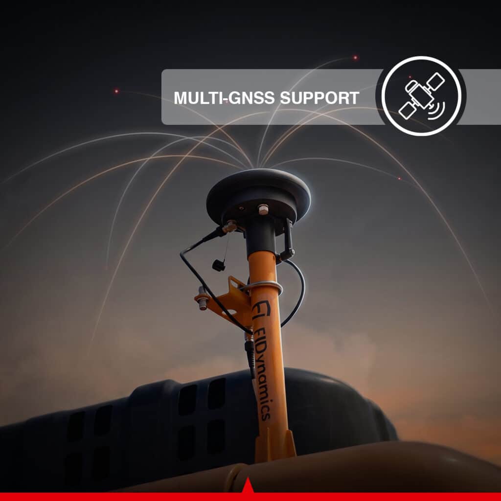
- Multi-GNSS with 1408 Channels
- RTK, NTRIP & Base Station option Support
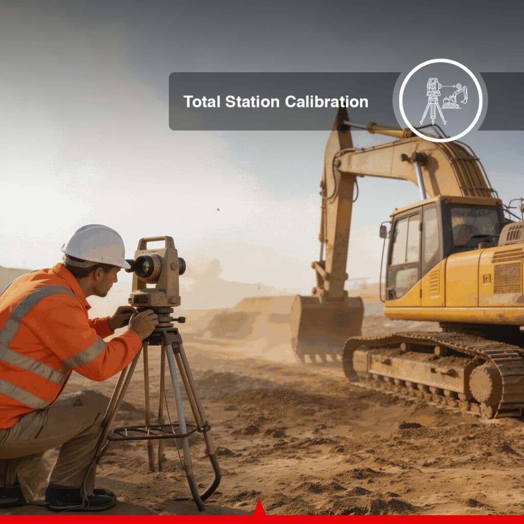
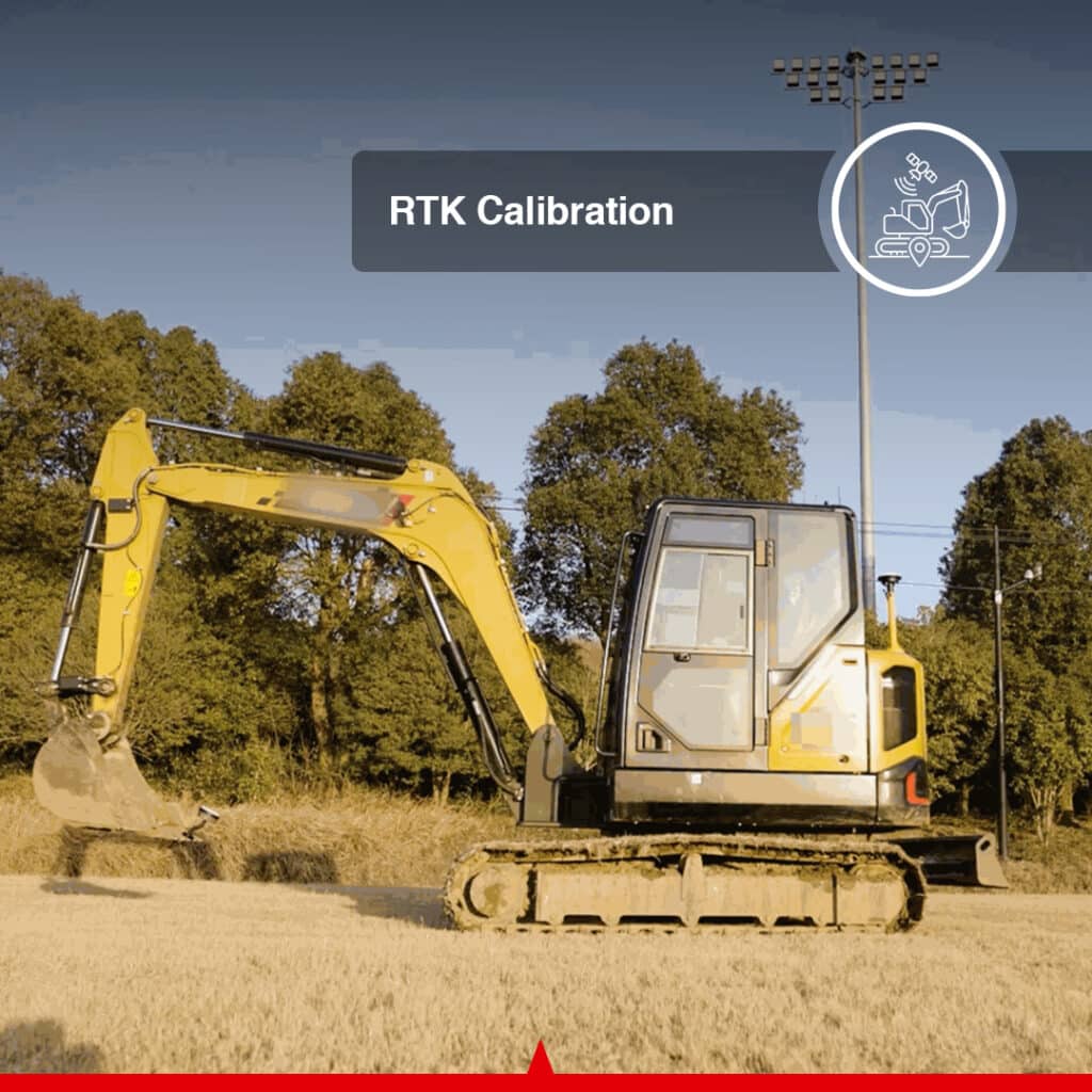
- RTK & Total Station options Calibration
- 6,000+ Global Coordinate Systems
- DWG, DXF, SHP, KML & XML File Support
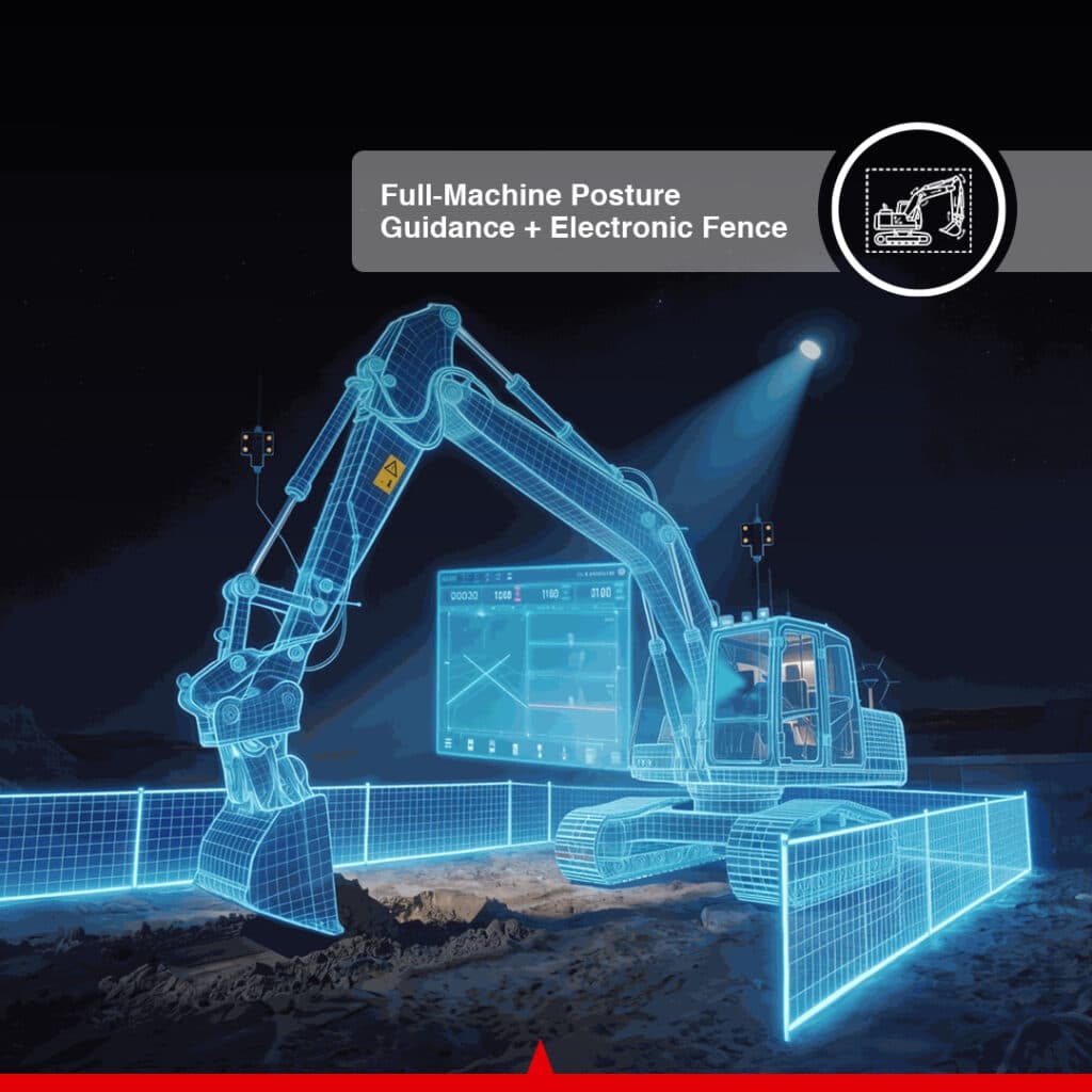
- Electronic Fence with Voice Alerts
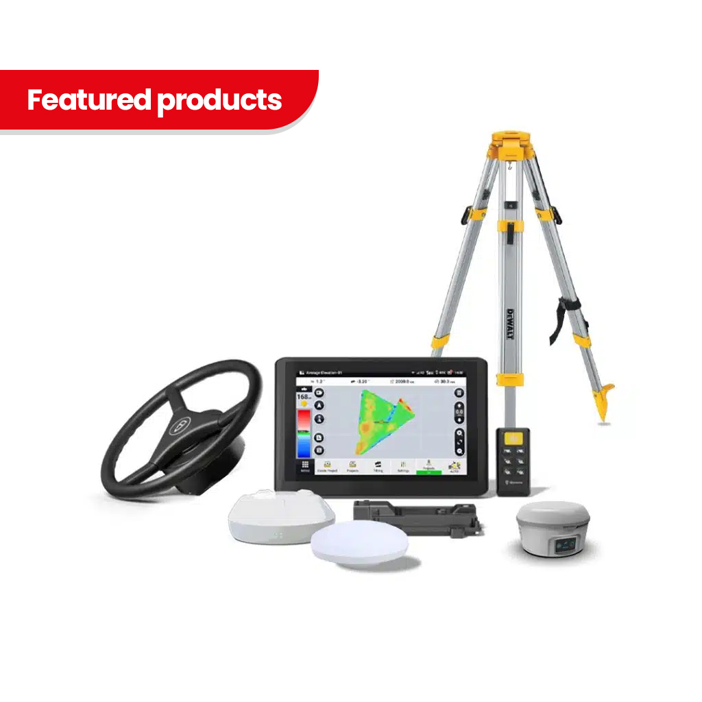
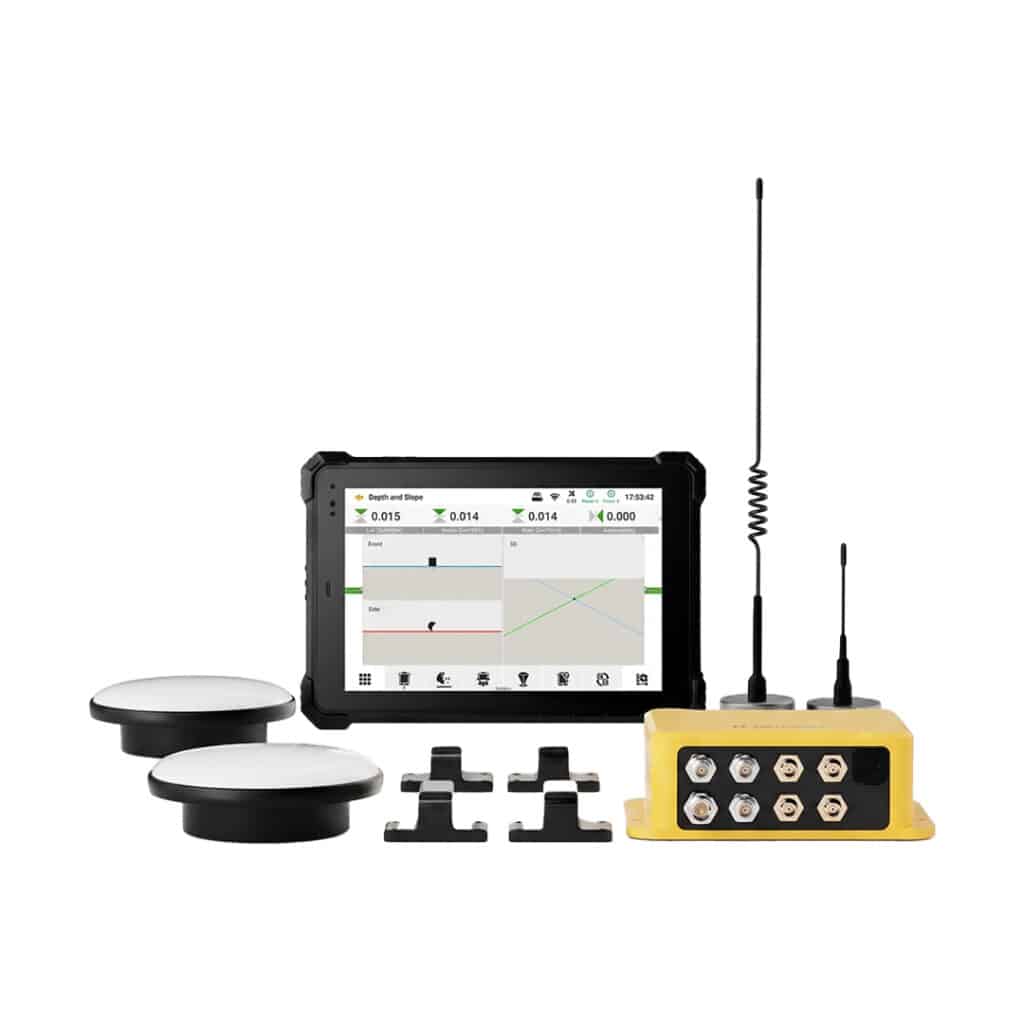
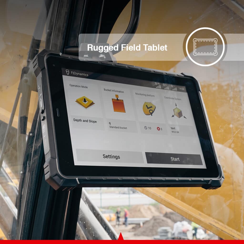
- 10.1" High-Brightness Rugged Display
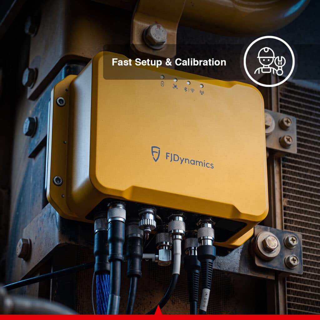
- IP67 Control & IMU Modules
- IP68 Central Display
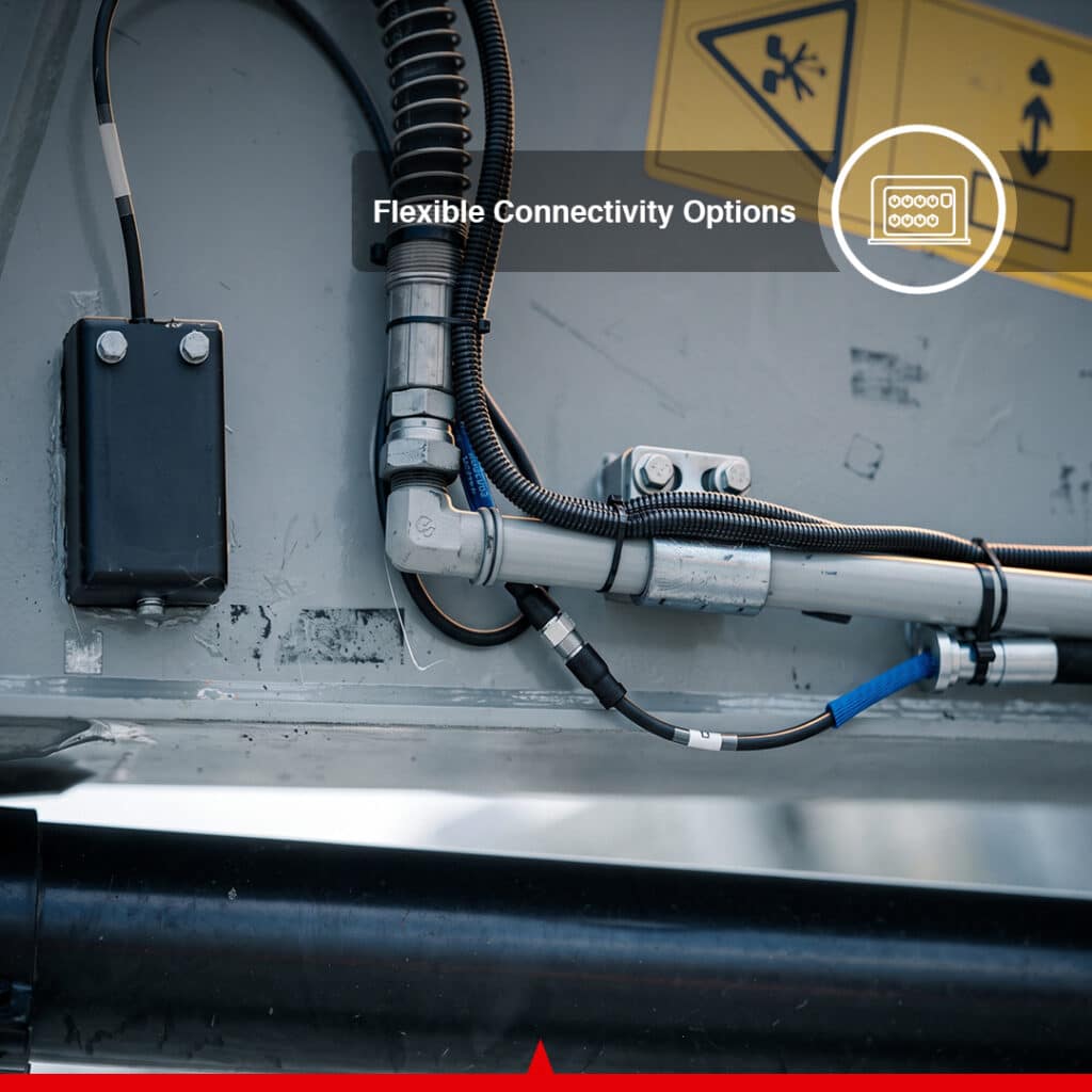
- Wi-Fi, Bluetooth, Ethernet & 4G Connectivity
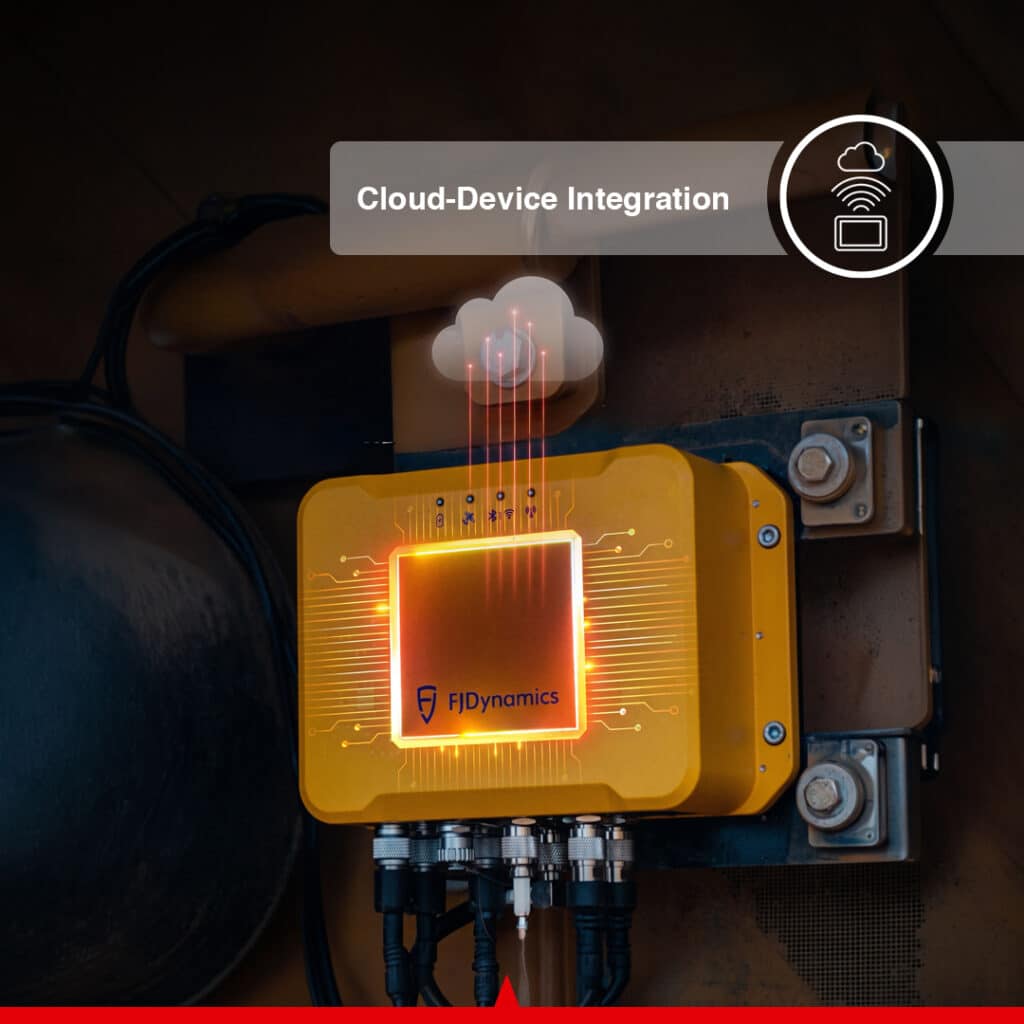
- Cloud Device & Project Management
- Tilt Bucket Accessory option Support
- Swing / Offset Arm Configuration Support
Se envía en 24 horas
Extender a 5
Complemento disponible
CANAMEK X70 — 3D System for Excavators
CANAMEK X70 3D Excavator Guidance System
El Canamek X70 3D Excavator Guidance System brings high-precision GNSS positioning, real-time machine posture tracking, digital design data, and intelligent excavation guidance directly into the excavator cab. Designed for professional earthmoving, construction, grading, trenching, mining, roadwork, and water-engineering applications, the X70 helps operators excavate accurately to the required design surface while reducing unnecessary rework and over-excavation.
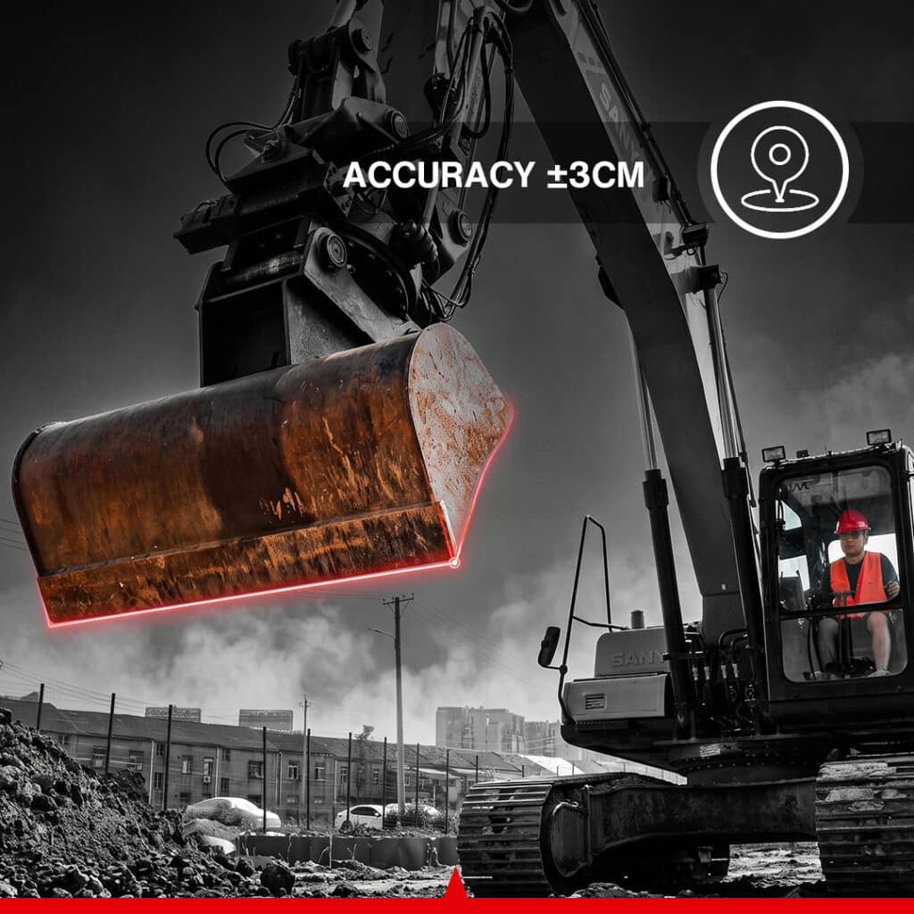
With excavation guidance accuracy of up to ±3 cm, the Canamek X70 continuously tracks the excavator’s position and machine geometry while displaying clear real-time digging guidance on a rugged 10.1-inch field display. Operators can compare the actual bucket position against the project design directly from the cab, helping them maintain the required elevation, depth, slope, and excavation profile throughout the job.
The underlying source system specifies ±3 cm guidance accuracy and real-time machine posture tracking with on-screen excavation guidance.
Real-Time Full-Machine 3D Guidance
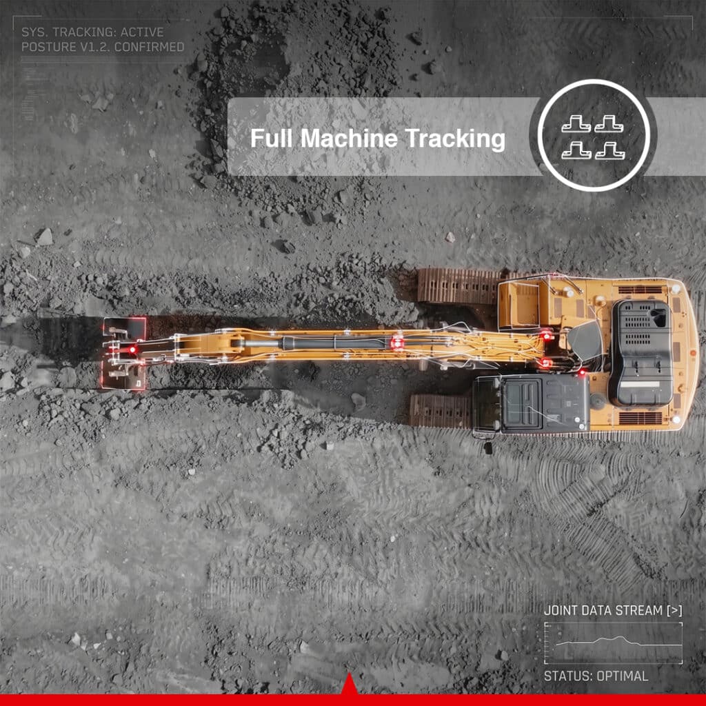
The Canamek X70 uses multiple IMU sensors to monitor the excavator body, boom, arm, and bucket. With data output up to 100 Hz, the system continuously calculates the machine’s 3D posture and joint angles, giving the operator an accurate real-time representation of the working equipment.
This full-machine awareness allows the X70 to provide precise bucket guidance throughout the excavation cycle instead of relying only on the position of the excavator itself.
An integrated Electronic Fence function can also be configured to generate voice warnings when predefined boundaries are approached, helping reduce the risk of collisions and excessive excavation.
The brochure specifically describes IMUs on the machine body, boom, arm and bucket delivering 100 Hz real-time 3D posture and joint-angle data together with customizable electronic fences and voice alerts.
Precision GNSS & RTK Positioning
At the core of the Canamek X70 is a multi-constellation GNSS positioning system with 1408 channels and support for multiple correction methods including NTRIP, Base Station RTK and PPP.
The system supports multiple GNSS constellations and frequency bands, providing the positioning foundation required for demanding excavation and grading applications.
For project setup, the X70 supports both RTK-based calibration and total-station calibration workflows. The source system also provides a rover-based RTK calibration method designed to reduce reliance on a total station and complete calibration in approximately 30 minutes, while the total-station workflow provides a guided five-step calibration procedure.
Work Directly From Digital Design Files
The Canamek X70 allows project design information to move from the office directly into the excavator.
It supports commonly used construction, CAD and geospatial file formats including:
DWG, DXF, SHP, KML and XML
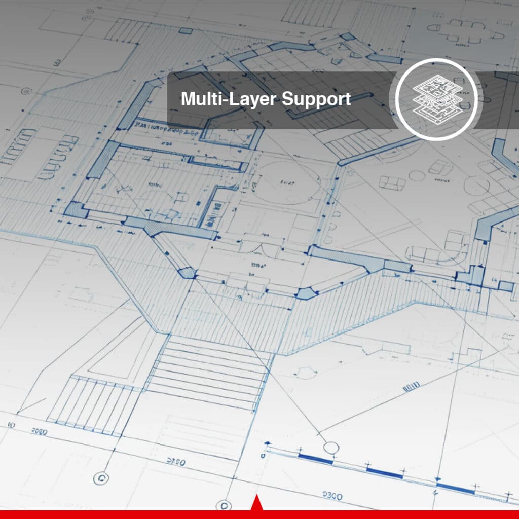
Multi-layer project support makes complex drawings easier to manage by allowing operators to clearly view different design layers on the field display.
With 6,000+ predefined coordinate systems, the X70 can also be configured for projects in different regions without requiring users to manually build coordinate-system definitions for every job.
Both the 6,000+ coordinate-system library and DWG/DXF/SHP/KML/XML multi-layer support are listed in the product brochure.
Rugged 10.1-Inch Field Display
The Canamek X70 includes a rugged central display engineered for demanding construction environments.
El 10.1-inch, 1920 × 1200 display delivers up to 750 cd/m² brightness for improved visibility in outdoor working conditions. The display is rated IP68 and incorporates an octa-core processor, 8 GB RAM, 128 GB storage, Wi-Fi, Bluetooth, cellular connectivity and multiple wired interfaces.
This provides operators with a durable in-cab platform for viewing machine position, project design data and excavation guidance throughout the working day.
Connected Construction Workflow
The X70 is designed to connect machine operations with project-management workflows.
Cloud-device integration supports functions such as device management, project monitoring and cross-team collaboration, allowing project information to move more efficiently between the construction site and the office.
Project teams can monitor machine information and project progress while field and design data can be synchronized to help keep operators, surveyors and project managers working from consistent project information.
The brochure describes real-time machine location/status, project progress and resource monitoring, schedule/risk tracking, and synchronization of design and field data through the cloud.
Built for Challenging Excavation Environments
The Canamek X70 is engineered for professional construction environments with IP67-rated control and IMU modules and an IP68 central display.
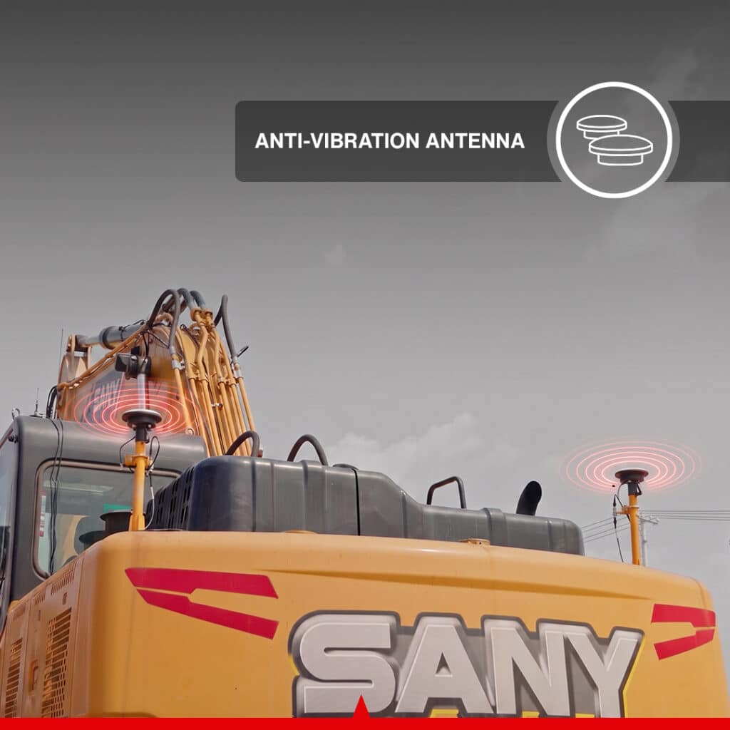
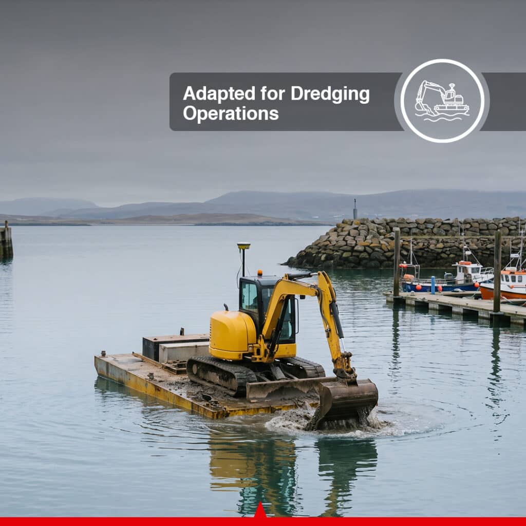
The platform can also be configured for water-construction and dredging applications. The source system describes IP67/IP68-rated components, roof-mounted GNSS antenna configurations and an amphibious equipment option for demanding dredging environments.
Reduce Rework and Dig With Confidence
By combining GNSS positioning, RTK corrections, real-time 3D machine tracking and digital project designs, the Canamek X70 gives excavator operators continuous guidance toward the intended finished surface.
Instead of repeatedly stopping excavation to manually check grade, operators can see the bucket’s relationship to the design while they work. This makes the X70 particularly valuable on projects requiring consistent depth, slope, elevation or complex 3D excavation geometry.
Whether the job involves precision trenching, highway earthworks, mine development, bridge construction, landscape shaping or water infrastructure, the Canamek X70 3D Excavator Guidance System provides the positioning and machine-awareness tools required for more controlled excavation.
Preguntas frecuentes
What is the Canamek X70?
El Canamek X70 is a 3D excavator guidance system that combines GNSS/RTK positioning, machine-mounted IMU sensors, digital project designs and an in-cab display to provide real-time excavation guidance and machine posture information.
How accurate is the Canamek X70?
The system provides excavation guidance accuracy of up to ±3 cm. The GNSS specifications also list RMS positioning accuracy of 0.8 cm + 1 ppm horizontally y 1.5 cm + 1 ppm vertically under the specified positioning configuration.
Which design file formats does the Canamek X70 support?
The X70 supports DWG, DXF, SHP, KML and XML files, allowing operators to work with common CAD, construction and geospatial project data.
Does the Canamek X70 support RTK?
Yes. The X70 supports NTRIP, Base Station RTK and PPP GNSS connection methods. The system also supports an RTK-based calibration workflow.
Does the X70 require a total station for calibration?
Not necessarily. The source platform supports both RTK rover-based calibration and traditional total-station calibration. The RTK workflow is designed to allow calibration without relying on a total station in supported configurations.
How long does RTK calibration take?
The source system specifies that its rover-based RTK calibration workflow can be completed in approximately 30 minutes. Total-station calibration uses a guided five-step workflow.
How many coordinate systems does the X70 support?
The system provides access to more than 6,000 predefined coordinate systems worldwide, helping simplify setup across different regions and project locations.
Does the Canamek X70 track the complete excavator?
Yes. IMU sensors track the machine body, boom, arm and bucket, providing real-time 3D posture and joint-angle information at output frequencies of up to 100 Hz.
What is the Electronic Fence feature?
Electronic Fence allows predefined working boundaries to be configured around the machine’s operating environment. The system can provide voice alerts when those boundaries are approached, helping reduce collision risk and over-excavation.
Is the Canamek X70 suitable for dredging?
The platform is designed to support water-construction and dredging environments. The source configuration includes IP67/IP68-rated components and supports configurations such as a roof-mounted GNSS antenna and amphibious equipment.
What type of display does the X70 use?
The X70 uses a 10.1-inch, 1920 × 1200 rugged display with brightness up to 750 cd/m² and an IP68 environmental rating.
Does the X70 support mobile and wireless connectivity?
Yes. The central display supports Wi-Fi, Bluetooth 5.0 BLE and multiple 2G/3G/4G cellular standards. The control module also supports Wi-Fi, Bluetooth and Ethernet.
Can the X70 connect field operations with the office?
Yes. Cloud-device integration supports device management, project information and synchronization of field and design data, helping coordinate workflows between machines, site personnel and office teams.
Does the X70 support tilt buckets and offset-boom excavators?
The brochure lists dedicated Tilt Bucket y Swing Arm / Offset Arm accessory kits for supported machine configurations.
The FAQ answers above reflect the published feature set and technical brochure rather than adding capabilities that are not documented.
Hoja de datos completa
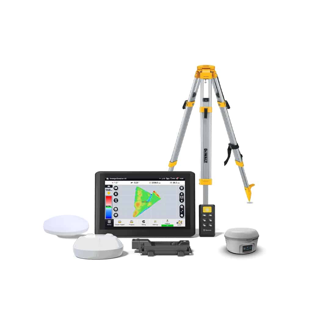
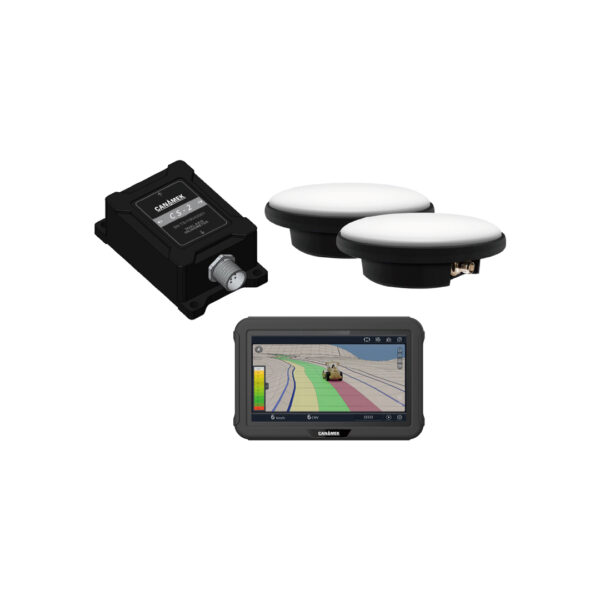
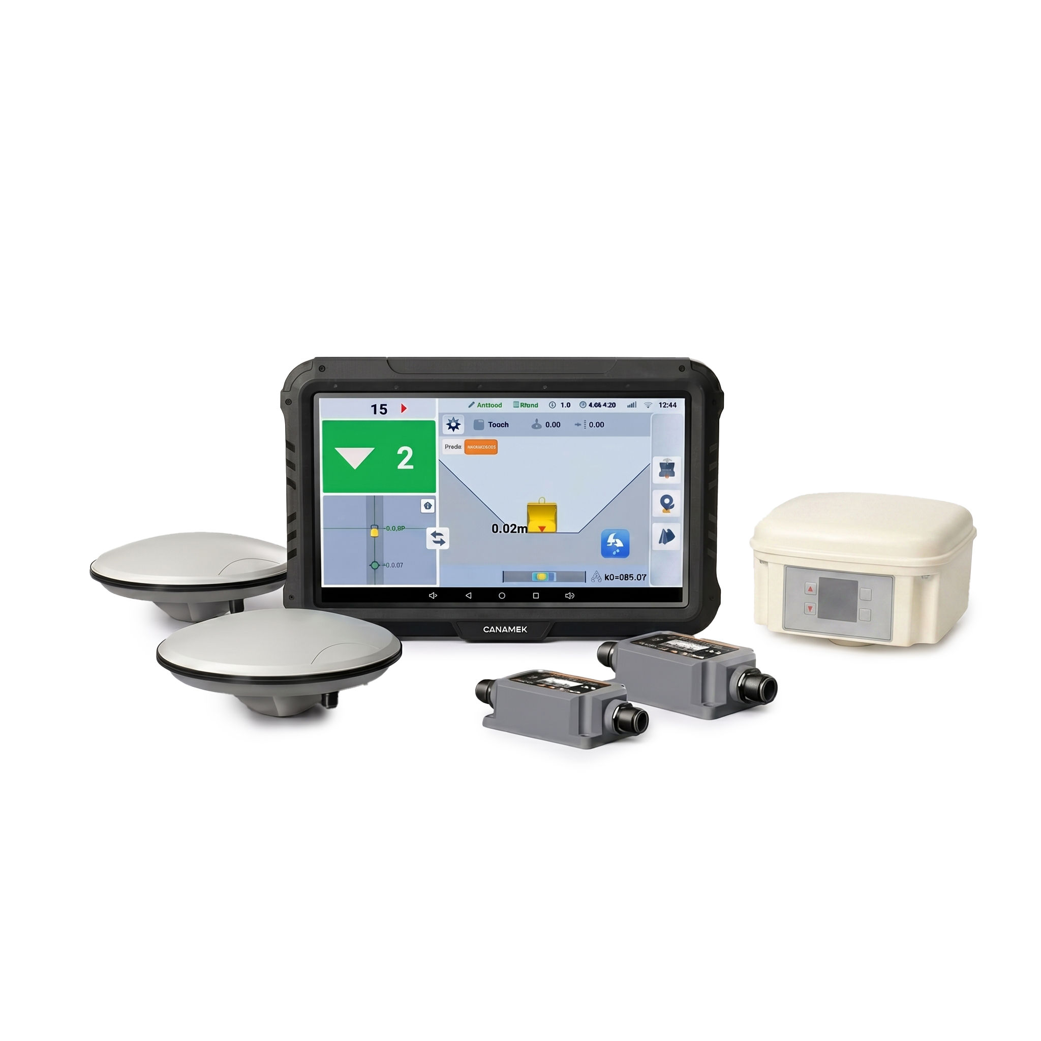
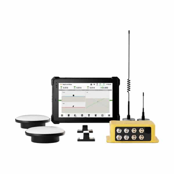
| Elegir | Core Version | Standalone GPS | Turnkey Version |
Key System Capabilities
| Feature | Descripción |
|---|---|
| Excavation Guidance Accuracy | Up to ±3 cm |
| Full Machine Tracking | Real-time tracking of excavator posture and working equipment |
| IMU Guidance | Body, boom, arm and bucket monitoring |
| IMU Update Rate | Up to 100 Hz |
| RTK Calibration | Rover-based calibration workflow supported |
| Total Station Calibration | Guided 5-step calibration workflow |
| Coordinate Systems | 6,000+ predefined systems |
| Multi-Layer Designs | Supports complex multi-layer project drawings |
| File Compatibility | DWG, DXF, SHP, KML, XML |
| Electronic Fence | Custom boundaries with voice alerts |
| Multi-GNSS | Multi-constellation, multi-frequency positioning |
| Cloud Integration | Device, project and field-data connectivity |
| Dredging Configuration | Designed to support harsh water-construction environments |
Control Module
| Especificación | CANAMEK X70 |
|---|---|
| Size | 200 × 155 × 63 mm |
| Communication | Wi-Fi, Bluetooth, Ethernet |
| Power Supply | 9–36 V |
| Temperatura de operación | -40°C to 60°C |
| Temperatura de almacenamiento | -40°C to 85°C |
| IP Rating | IP67 |
| GNSS Channels | 1408 channels |
| GNSS Connection | NTRIP, Base Station RTK, PPP |
| Horizontal Accuracy (RMS) | 0.8 cm + 1 ppm |
| Vertical Accuracy (RMS) | 1.5 cm + 1 ppm |
| Optional 400 MHz Radio | 410 MHz to 470 MHz |
| Optional 900 MHz Radio | 902 MHz to 928 MHz |
| Wi-Fi Frequency Range | 2400 MHz to 2500 MHz |
GNSS Frequency Bands
| Constellation | Supported Bands |
|---|---|
| GPS | L1 C/A, L1C, L2P(W), L2C, L5 |
| BDS / BeiDou | B1I, B2I, B3I, B1C*, B2b* |
| GLONASS | L1, L2 |
| Galileo | E1, E5a, E5b, E6* |
| QZSS | L1C/A, L2C, L5, L6 |
IMU Module
| Especificación | CANAMEK X70 |
|---|---|
| Resolución | <0.05° |
| Operating Voltage | 4.9–32 V DC |
| Output Frequency | Up to 100 Hz |
| Temperatura de operación | -40°C to 85°C |
| IP Rating | IP67 |
| Maximum Angular Rate | <400 |
| Static Accuracy at TA = 25°C | 0.15° |
| Dynamic Accuracy | 0.50° |
| Temperature Stability | 0.05° |
| Acceleration Axes | X, Y, Z |
| Acceleration Range | ±78 m/s/s |
| Acceleration Accuracy, 1g Input, -40°C to 85°C | ±0.1 m/s/s |
Central Display
| Especificación | CANAMEK X70 |
|---|---|
| Overall Size | 284 × 189 × 22.5 mm |
| Visualizar | 10.1", 1920 × 1200 |
| Brightness | 750 cd/m² |
| Memoria | 8 GB RAM, 128 GB ROM |
| Processor | Octa-core, 2.2 GHz |
| Power Supply | 7–30 V DC |
| Wi-Fi | 802.11 b/g/n, 2.4 GHz |
| Bluetooth | Bluetooth 5.0 BLE |
| Battery | 10,000 mAh / 3.8 V Lithium |
| Temperatura de operación | -20°C to 60°C |
| Temperatura de almacenamiento | -30°C to 70°C |
| IP Rating | IP68 |
2G / 3G / 4G Cellular Support
| Network | Bands |
|---|---|
| GSM | B2 / B3 / B5 / B8 |
| WCDMA | B1 / B2 / B5 / B8 |
| TD-SCDMA | B38 / B39 / B40 / B41 |
| CDMA | CDMA2000 |
| LTE-FDD | B1 / B2 / B3 / B4 / B5 / B7 / B8 / B28A |
| LTE-TDD | B38 / B39 / B40 / B41 |
Display Interfaces
| Interface | Quantity / Specification |
|---|---|
| USB Type-C | ×1, supports OTG |
| USB Type-A | ×1, USB 2.0 |
| Earphone Jack | ×1, standard 3.5 mm |
| TF Card Slot | ×1 |
| SIM Card Slot | ×1, standard Micro SIM |
| DC Power Port | ×1, 5 V / 3 A |
| Ethernet Port | ×1 |
| POGO PIN Connector | ×1, USB + Charging |
| RS232 Serial Port | ×1 |
Accessory Kit Specifications
Tilt Bucket Accessory Kit
| Component | Qty. |
|---|---|
| Attitude Sensor – Tilt | 1 |
| Thickened Protective Cover | 1 |
| Thickened Protective Cover Baseplate | 1 |
| Tilt Sensor Connection Cable | 1 |
| Bucket Sensor Connection Cable | 1 |
| Extension Harness | 1 |
Swing Arm / Offset Arm Attachment Kit
| Component | Qty. |
|---|---|
| Excavator Encoder Assembly | 1 |
| Rotating Bucket Extension Cable | 1 |
| Rotary Encoder Cable Harness | 1 |
| Rotating Bucket Extension Cable | 1 |
| Cross Slider Coupling | 1 |
Dónde se gana el sustento
Precision Excavation & Grade Guidance
El Canamek X70 provides real-time bucket position, elevation and machine-posture information to help operators excavate accurately to digital project designs. It is well suited to jobs where consistent depth, elevation, slope or 3D geometry must be maintained.
Water Conservancy & River Engineering
Use the X70 for river engineering, channel excavation, water infrastructure and other water-construction projects where accurate excavation profiles and elevations are required. The system can also be configured for demanding dredging environments.
Mine Bench & Pit Planning
Maintain designed excavation surfaces, bench elevations and pit geometry in mining and quarry operations while giving operators continuous 3D positioning guidance.
Landscape & Golf Course Shaping
Create complex terrain profiles, slopes and contours from digital design data for golf courses, parks, landscaping and large-scale terrain-shaping projects.
Airfield Modeling
Support precise earthmoving and surface preparation for airport and airfield construction projects where controlled elevations and grading profiles are critical.
Bridge Substructure Construction
Assist operators with accurate excavation around bridge foundations, abutments and substructure works while using digital project information directly in the excavator.
Highway Roadbed Earthworks
Use real-time 3D excavation guidance for roadbed formation, cut-and-fill operations and highway earthworks requiring accurate elevation and slope control.
Utility Tunnels & Precision Trenching
Guide excavation for utility corridors, pipelines, drainage systems, trenching and tunnel-related works while reducing unnecessary over-excavation.
Precision Highway Slope Grading
Maintain designed slope geometry during highway and embankment construction using real-time machine and bucket positioning.
These eight application categories are shown on the brochure's application page, including water/river engineering, mine bench planning, landscape and golf shaping, airfield modeling, bridge substructures, highway roadbeds, utility trenching and highway slope grading.
Sé el primero en opinar sobre este producto.
Listo para su implementación.
Fuera del caso.
Cada unidad viene con todo lo necesario para ponerla en funcionamiento en menos de una hora.
- Unidad completa del sistema
- Accesorios de montaje
- Cable de alimentación + cargador
- Estuche rígido para transporte
- Guía de inicio rápido + tarjeta de garantía
Construir todo el sistema
Obtén ayuda para elegir la talla y respuestas a tus dudas técnicas de parte de una persona de verdad, en menos de 2 minutos.
Llame al +1 (855) CANAMEKDinos cuál es la superficie de tu terreno y qué cultivo tienes, y recibirás un presupuesto completo en 24 horas.
Correo electrónico de ventas →Ven a verlo en persona a uno de nuestros distribuidores en todo el mundo.
Buscar un distribuidor →
Escribe una reseña